Distance to Reed, Oklahoma

Calculating Your Route
Just a moment while we process your request...
Location Information
-
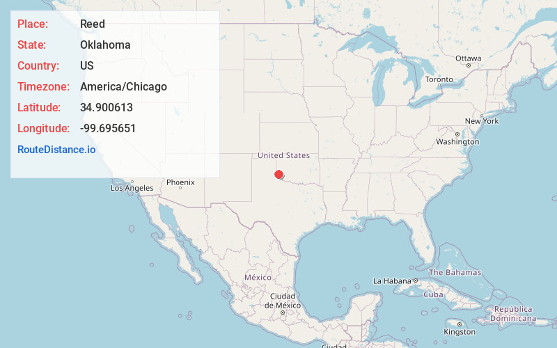
Full AddressReed, OK 73550
-
Coordinates34.9006134, -99.6956514
-
LocationReed , Oklahoma , US
-
TimezoneAmerica/Chicago
-
Current Local Time6:17:01 AM America/ChicagoSaturday, June 21, 2025
-
Page Views0
About Reed
Reed is an unincorporated community in Greer County, Oklahoma, United States, located along State Highway 9 at North County Road 1840. The ZIP Code is 73554. The post office opened September 16, 1892. Reed was said to have been named for the first postmaster, John Reed Graham.


Nearby Places
Found 10 places within 50 miles

Mangum
11.0 mi
17.7 km
Mangum, OK 73554
Get directions

Willow
14.8 mi
23.8 km
Willow, OK 73673
Get directions

McQueen
16.2 mi
26.1 km
McQueen, OK 73544
Get directions

Gould
16.4 mi
26.4 km
Gould, OK 73544
Get directions

Duke
17.9 mi
28.8 km
Duke, OK 73532
Get directions
Lake Creek
18.3 mi
29.5 km
Lake Creek, OK 73547
Get directions

Granite
18.3 mi
29.5 km
Granite, OK 73547
Get directions

Hollis
19.1 mi
30.7 km
Hollis, OK 73550
Get directions
Dodson
20.8 mi
33.5 km
Dodson, TX 79230
Get directions

Martha
21.3 mi
34.3 km
Martha, OK 73556
Get directions
Location Links
Local Weather
Weather Information
Coming soon!
Location Map
Static map view of Reed, Oklahoma
Browse Places by Distance
Places within specific distances from Reed
Short Distances
Long Distances
Click any distance to see all places within that range from Reed. Distances shown in miles (1 mile ≈ 1.61 kilometers).