Distance to Rest Haven, Georgia

Calculating Your Route
Just a moment while we process your request...
Location Information
-
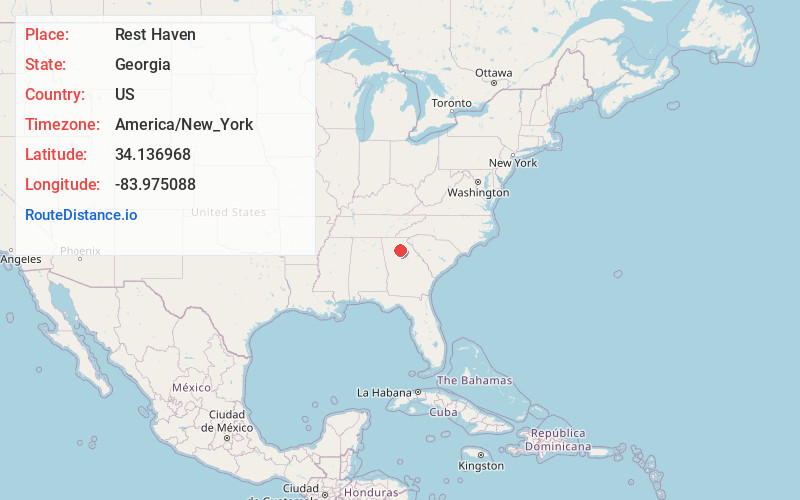
Full AddressRest Haven, GA 30518
-
Coordinates34.1369679, -83.9750876
-
LocationRest Haven , Georgia , US
-
TimezoneAmerica/New_York
-
Current Local Time3:09:14 PM America/New_YorkTuesday, June 24, 2025
-
Page Views0
About Rest Haven
Rest Haven is a town primarily in northern Gwinnett and partly in southern Hall counties in the U.S. state of Georgia. As of 2020, its population was 45.
Rest Haven is located along Georgia State Route 13, a highway from Atlanta to Gainesville that is immediately west of Interstate 985.


Nearby Places
Found 10 places within 50 miles

Buford
2.0 mi
3.2 km
Buford, GA
Get directions

Sugar Hill
4.0 mi
6.4 km
Sugar Hill, GA
Get directions

Flowery Branch
4.4 mi
7.1 km
Flowery Branch, GA
Get directions

Suwanee
8.1 mi
13.0 km
Suwanee, GA 30024
Get directions

Oakwood
8.1 mi
13.0 km
Oakwood, GA
Get directions

Cumming
10.6 mi
17.1 km
Cumming, GA
Get directions

Dacula
11.2 mi
18.0 km
Dacula, GA
Get directions

Auburn
12.0 mi
19.3 km
Auburn, GA 30011
Get directions

Braselton
12.3 mi
19.8 km
Braselton, GA
Get directions

Hoschton
12.5 mi
20.1 km
Hoschton, GA 30548
Get directions
Location Links
Local Weather
Weather Information
Coming soon!
Location Map
Static map view of Rest Haven, Georgia
Browse Places by Distance
Places within specific distances from Rest Haven
Short Distances
Long Distances
Click any distance to see all places within that range from Rest Haven. Distances shown in miles (1 mile ≈ 1.61 kilometers).