Distance to Ridge Harbor, Florida

Calculating Your Route
Just a moment while we process your request...
Location Information
-
Full AddressRidge Harbor, FL 33982
-
Coordinates26.9906141, -81.9545307
-
LocationFlorida , US
-
TimezoneAmerica/New_York
-
Current Local Time5:38:37 AM America/New_YorkWednesday, June 18, 2025
-
Page Views0
Nearby Places
Found 10 places within 50 miles

Morgantown
1.3 mi
2.1 km
Morgantown, FL 33982
Get directions
Peace River Shores
2.8 mi
4.5 km
Peace River Shores, FL 33982
Get directions

Harbour Heights
2.9 mi
4.7 km
Harbour Heights, FL 33983
Get directions

Cleveland
3.1 mi
5.0 km
Cleveland, FL
Get directions

Deep Creek
4.2 mi
6.8 km
Deep Creek, FL 33983
Get directions
Tee and Green Estates
4.3 mi
6.9 km
Tee and Green Estates, Cleveland, FL 33982
Get directions
Southfort
5.4 mi
8.7 km
Southfort, FL 34269
Get directions

Solana
5.5 mi
8.9 km
Solana, FL 33950
Get directions

Fort Ogden
6.7 mi
10.8 km
Fort Ogden, FL 34269
Get directions

Punta Gorda
7.0 mi
11.3 km
Punta Gorda, FL
Get directions
Location Links
Local Weather
Weather Information
Coming soon!
Location Map
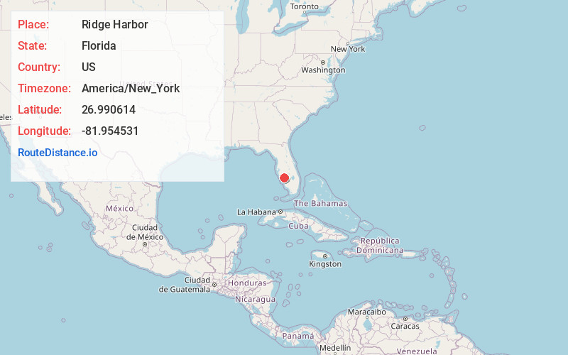
Static map view of Ridge Harbor, Florida
Browse Places by Distance
Places within specific distances from Ridge Harbor
Short Distances
Long Distances
Click any distance to see all places within that range from Ridge Harbor. Distances shown in miles (1 mile ≈ 1.61 kilometers).