Distance to Roachester, Ohio

Calculating Your Route
Just a moment while we process your request...
Location Information
-
Full AddressRoachester, OH 45152
-
Coordinates39.3567272, -84.0968784
-
LocationRoachester , Ohio , US
-
TimezoneAmerica/New_York
-
Current Local Time7:24:55 PM America/New_YorkSaturday, May 31, 2025
-
Page Views0
About Roachester
Roachester is an unincorporated community in Warren County, Ohio, United States. Roachester is located at the junction of Ohio State Route 3 and Ohio State Route 123, 1.6 miles east of Morrow.
Nearby Places
Found 10 places within 50 miles

Morrow
1.6 mi
2.6 km
Morrow, OH 45152
Get directions

South Lebanon
6.3 mi
10.1 km
South Lebanon, OH
Get directions

Clarksville
6.9 mi
11.1 km
Clarksville, OH 45113
Get directions

Maineville
7.2 mi
11.6 km
Maineville, OH
Get directions

Blanchester
7.3 mi
11.7 km
Blanchester, OH 45107
Get directions

Lebanon
7.8 mi
12.6 km
Lebanon, OH 45036
Get directions

Kings Mills
8.1 mi
13.0 km
Kings Mills, OH
Get directions

Goshen
9.2 mi
14.8 km
Goshen, OH 45122
Get directions

Loveland Park
9.7 mi
15.6 km
Loveland Park, OH
Get directions

Landen
10.4 mi
16.7 km
Landen, OH
Get directions
Location Links
Local Weather
Weather Information
Coming soon!
Location Map
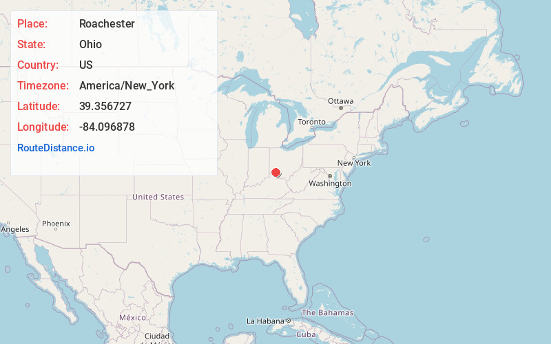
Static map view of Roachester, Ohio
Browse Places by Distance
Places within specific distances from Roachester
Short Distances
Long Distances
Click any distance to see all places within that range from Roachester. Distances shown in miles (1 mile ≈ 1.61 kilometers).