Distance to Roberts Crossroads, Georgia

Calculating Your Route
Just a moment while we process your request...
Location Information
-
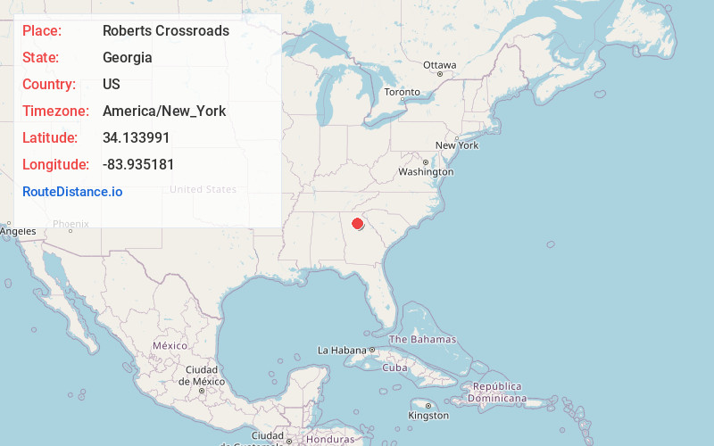
Full AddressRoberts Crossroads, GA 30519
-
Coordinates34.1339911, -83.9351813
-
LocationGeorgia , US
-
TimezoneAmerica/New_York
-
Current Local Time11:43:34 AM America/New_YorkWednesday, June 4, 2025
-
Page Views0
Nearby Places
Found 10 places within 50 miles

Rest Haven
2.3 mi
3.7 km
Rest Haven, GA 30518
Get directions

Flowery Branch
3.6 mi
5.8 km
Flowery Branch, GA
Get directions

Buford
4.1 mi
6.6 km
Buford, GA
Get directions

Hog Mountain
5.8 mi
9.3 km
Hog Mountain, GA 30019
Get directions

Sugar Hill
5.9 mi
9.5 km
Sugar Hill, GA
Get directions
Chestnut Mountain
6.2 mi
10.0 km
Chestnut Mountain, GA 30542
Get directions

Oakwood
7.1 mi
11.4 km
Oakwood, GA
Get directions
Tanner Mill
9.1 mi
14.6 km
Tanner Mill, GA 30507
Get directions

Suwanee
9.7 mi
15.6 km
Suwanee, GA 30024
Get directions
Chicopee
9.8 mi
15.8 km
Chicopee, GA 30504
Get directions
Location Links
Local Weather
Weather Information
Coming soon!
Location Map
Static map view of Roberts Crossroads, Georgia
Browse Places by Distance
Places within specific distances from Roberts Crossroads
Short Distances
Long Distances
Click any distance to see all places within that range from Roberts Crossroads. Distances shown in miles (1 mile ≈ 1.61 kilometers).