Distance to Robinette, Oregon

Calculating Your Route
Just a moment while we process your request...
Location Information
-
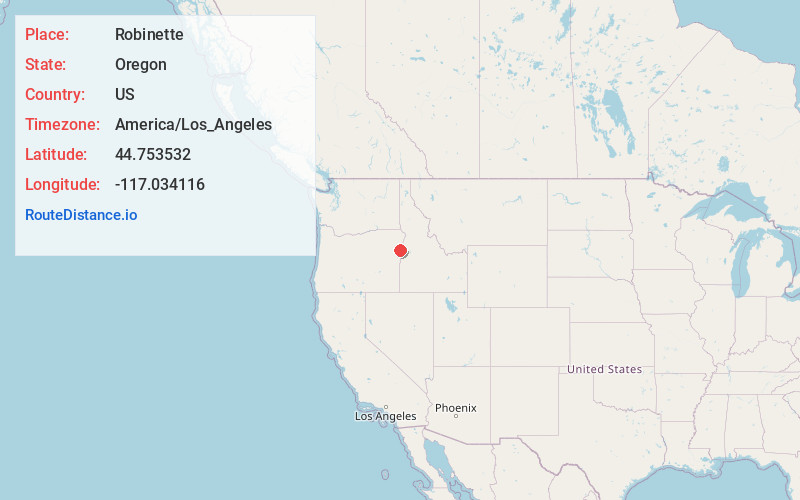
Full AddressRobinette, OR 97834
-
Coordinates44.753532, -117.0341156
-
LocationRobinette , Oregon , US
-
TimezoneAmerica/Los_Angeles
-
Current Local Time6:49:38 PM America/Los_AngelesThursday, June 19, 2025
-
Page Views0
About Robinette
Robinette is a former unincorporated community in Baker County, Oregon, United States.
Robinette was platted around 1898, along a Northwest Railway Company line that never developed. In 1909, a railroad station and townsite at this locale were named for James E. Robinette, a native of Maryland.
Nearby Places
Found 10 places within 50 miles

Richland
6.7 mi
10.8 km
Richland, OR 97870
Get directions

Pine
7.9 mi
12.7 km
Pine, OR 97834
Get directions

Halfway
9.6 mi
15.4 km
Halfway, OR 97834
Get directions
Sunset
9.8 mi
15.8 km
Sunset, OR 97834
Get directions

Carson
14.4 mi
23.2 km
Carson, OR 97834
Get directions
Sparta
16.4 mi
26.4 km
Sparta, OR 97870
Get directions

Cornucopia
19.2 mi
30.9 km
Cornucopia, OR 97834
Get directions

Homestead
20.7 mi
33.3 km
Homestead, OR 97840
Get directions

Cambridge
21.6 mi
34.8 km
Cambridge, ID 83610
Get directions

Midvale
24.4 mi
39.3 km
Midvale, ID 83645
Get directions
Location Links
Local Weather
Weather Information
Coming soon!
Location Map
Static map view of Robinette, Oregon
Browse Places by Distance
Places within specific distances from Robinette
Short Distances
Long Distances
Click any distance to see all places within that range from Robinette. Distances shown in miles (1 mile ≈ 1.61 kilometers).