Distance to Rock Mills, Alabama

Calculating Your Route
Just a moment while we process your request...
Location Information
-
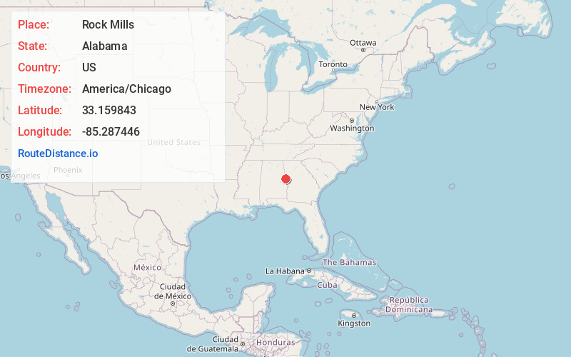
Full AddressRock Mills, AL 36274
-
Coordinates33.1598425, -85.287446
-
LocationRock Mills , Alabama , US
-
TimezoneAmerica/Chicago
-
Current Local Time6:36:39 AM America/ChicagoThursday, June 19, 2025
-
Page Views0
About Rock Mills
Rock Mills is a census-designated place in Randolph County, Alabama, United States. At the 2010 census the population was 600, down from 676 in 2000. According to the U.S. Census, from 1890 until the 1920s, Rock Mills was an incorporated community. It was later designated a CDP beginning in 2000.


Nearby Places
Found 10 places within 50 miles

Roanoke
4.9 mi
7.9 km
Roanoke, AL 36274
Get directions

Franklin
13.6 mi
21.9 km
Franklin, GA 30217
Get directions

Wedowee
15.4 mi
24.8 km
Wedowee, AL 36278
Get directions

Woodland
16.2 mi
26.1 km
Woodland, AL 36280
Get directions

Wadley
16.5 mi
26.6 km
Wadley, AL 36276
Get directions

LaGrange
17.1 mi
27.5 km
LaGrange, GA
Get directions

Ephesus
17.2 mi
27.7 km
Ephesus, GA
Get directions

Centralhatchee
17.9 mi
28.8 km
Centralhatchee, GA 30217
Get directions

La Fayette
19.1 mi
30.7 km
La Fayette, AL 36862
Get directions

West Point
20.4 mi
32.8 km
West Point, GA
Get directions
Location Links
Local Weather
Weather Information
Coming soon!
Location Map
Static map view of Rock Mills, Alabama
Browse Places by Distance
Places within specific distances from Rock Mills
Short Distances
Long Distances
Click any distance to see all places within that range from Rock Mills. Distances shown in miles (1 mile ≈ 1.61 kilometers).