Distance to Rockledge Tank, Arizona

Calculating Your Route
Just a moment while we process your request...
Location Information
-
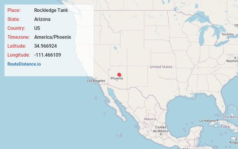
Full AddressRockledge Tank, Arizona 86038
-
Coordinates34.966924, -111.4661091
-
LocationArizona , US
-
TimezoneAmerica/Phoenix
-
Current Local Time2:47:04 AM America/PhoenixMonday, June 2, 2025
-
Page Views0
Nearby Places
Found 10 places within 50 miles

Mormon Lake
4.1 mi
6.6 km
Mormon Lake, AZ 86038
Get directions

Pine Lake Tank
6.0 mi
9.7 km
Pine Lake Tank, Arizona
Get directions

Munds Park
10.0 mi
16.1 km
Munds Park, AZ
Get directions
Mountainaire
13.9 mi
22.4 km
Mountainaire, AZ
Get directions

Kachina Village
15.7 mi
25.3 km
Kachina Village, AZ 86001
Get directions

Flagstaff
19.1 mi
30.7 km
Flagstaff, AZ
Get directions

Sedona
21.0 mi
33.8 km
Sedona, AZ 86336
Get directions

Doney Park
21.1 mi
34.0 km
Doney Park, AZ 86004
Get directions

Village of Oak Creek
21.2 mi
34.1 km
Village of Oak Creek, AZ 86351
Get directions
Fort Valley
25.5 mi
41.0 km
Fort Valley, AZ 86001
Get directions
Location Links
Local Weather
Weather Information
Coming soon!
Location Map
Static map view of Rockledge Tank, Arizona
Browse Places by Distance
Places within specific distances from Rockledge Tank
Short Distances
Long Distances
Click any distance to see all places within that range from Rockledge Tank. Distances shown in miles (1 mile ≈ 1.61 kilometers).