Distance to Sacate, Arizona

Calculating Your Route
Just a moment while we process your request...
Location Information
-
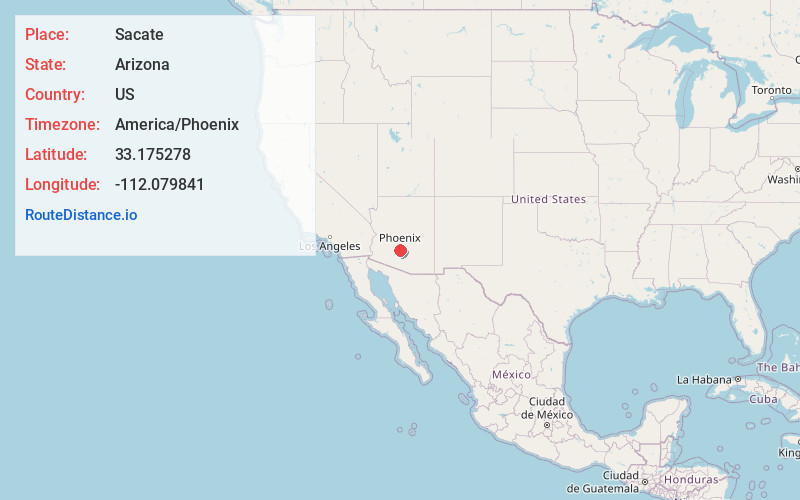
Full AddressSacate, AZ 85339
-
Coordinates33.1752776, -112.0798414
-
LocationSacate , Arizona , US
-
TimezoneAmerica/Phoenix
-
Current Local Time8:00:42 PM America/PhoenixWednesday, June 18, 2025
-
Page Views0
About Sacate
Sacate Village is a census-designated place in Pinal County, in the U.S. state of Arizona. The population was 169 at the 2010 census.
Nearby Places
Found 10 places within 50 miles

Maricopa Wells
0.9 mi
1.4 km
Maricopa Wells, AZ 85339
Get directions
Lone Butte Ranch
4.4 mi
7.1 km
Lone Butte Ranch, AZ 85226
Get directions
Santa Cruz
6.5 mi
10.5 km
Santa Cruz, AZ 85339
Get directions

Maricopa
8.3 mi
13.4 km
Maricopa, AZ
Get directions

Komatke
9.1 mi
14.6 km
Komatke, AZ 85339
Get directions
Enid
10.0 mi
16.1 km
Enid, AZ 85139
Get directions

Ak-Chin Indian Community
10.2 mi
16.4 km
Ak-Chin Indian Community, AZ 85139
Get directions

Maricopa (Ak Chin) Indian Reservation
10.4 mi
16.7 km
Maricopa (Ak Chin) Indian Reservation, Maricopa-Stanfield, AZ
Get directions

Casa Blanca
11.8 mi
19.0 km
Casa Blanca, AZ
Get directions
Goodyear Village
11.9 mi
19.2 km
Goodyear Village, AZ
Get directions
Location Links
Local Weather
Weather Information
Coming soon!
Location Map
Static map view of Sacate, Arizona
Browse Places by Distance
Places within specific distances from Sacate
Short Distances
Long Distances
Click any distance to see all places within that range from Sacate. Distances shown in miles (1 mile ≈ 1.61 kilometers).