Distance to Saline Landing, Illinois

Calculating Your Route
Just a moment while we process your request...
Location Information
-
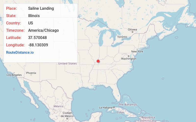
Full AddressSaline Landing, Rock Precinct, IL 62919
-
Coordinates37.5700482, -88.1303089
-
LocationRock Precinct , Illinois , US
-
TimezoneAmerica/Chicago
-
Current Local Time8:36:17 AM America/ChicagoWednesday, June 18, 2025
-
Page Views0
About Saline Landing
Saline Landing is an unincorporated community in northeast Hardin County, Illinois, United States. Saline Landing is located on the Ohio River at the mouth of the Saline River.
It is adjacent to Saline Island which is listed on the National Register of Historic Places.
Nearby Places
Found 10 places within 50 miles

Lamb
2.7 mi
4.3 km
Lamb, IL 62919
Get directions
Dekoven
3.2 mi
5.1 km
Dekoven, KY 42459
Get directions

Cave-In-Rock
7.2 mi
11.6 km
Cave-In-Rock, IL 62919
Get directions

Sturgis
8.2 mi
13.2 km
Sturgis, KY 42459
Get directions
Peters Creek
8.3 mi
13.4 km
Peters Creek, McFarlan Precinct, IL 62931
Get directions

Old Shawneetown
8.8 mi
14.2 km
Old Shawneetown, IL 62984
Get directions

Shawneetown
10.4 mi
16.7 km
Shawneetown, IL 62984
Get directions
Tolu
11.4 mi
18.3 km
Tolu, KY 42064
Get directions

Junction
12.1 mi
19.5 km
Junction, IL
Get directions

Elizabethtown
12.9 mi
20.8 km
Elizabethtown, IL 62931
Get directions
Location Links
Local Weather
Weather Information
Coming soon!
Location Map
Static map view of Saline Landing, Illinois
Browse Places by Distance
Places within specific distances from Saline Landing
Short Distances
Long Distances
Click any distance to see all places within that range from Saline Landing. Distances shown in miles (1 mile ≈ 1.61 kilometers).