Distance to Salkum, Washington

Calculating Your Route
Just a moment while we process your request...
Location Information
-
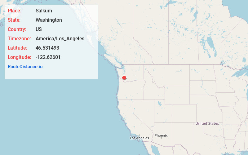
Full AddressSalkum, WA
-
Coordinates46.5314932, -122.6260102
-
LocationSalkum , Washington , US
-
TimezoneAmerica/Los_Angeles
-
Current Local Time10:12:01 PM America/Los_AngelesSaturday, June 21, 2025
-
Page Views0
About Salkum
Salkum is a rural unincorporated community in Lewis County, Washington. The town is located on U.S. Route 12 and is 2.1 miles west of Silver Creek.
Nearby Places
Found 10 places within 50 miles

Onalaska
5.4 mi
8.7 km
Onalaska, WA
Get directions

Mossyrock
6.7 mi
10.8 km
Mossyrock, WA 98564
Get directions

Cinebar
6.7 mi
10.8 km
Cinebar, WA 98533
Get directions

Toledo
12.3 mi
19.8 km
Toledo, WA 98591
Get directions

Napavine
13.7 mi
22.0 km
Napavine, WA
Get directions

Winlock
15.1 mi
24.3 km
Winlock, WA 98596
Get directions

Morton
16.8 mi
27.0 km
Morton, WA 98356
Get directions

Vader
18.2 mi
29.3 km
Vader, WA
Get directions
Olequa
18.5 mi
29.8 km
Olequa, WA 98611
Get directions

Chehalis
18.8 mi
30.3 km
Chehalis, WA 98532
Get directions
Location Links
Local Weather
Weather Information
Coming soon!
Location Map
Static map view of Salkum, Washington
Browse Places by Distance
Places within specific distances from Salkum
Short Distances
Long Distances
Click any distance to see all places within that range from Salkum. Distances shown in miles (1 mile ≈ 1.61 kilometers).