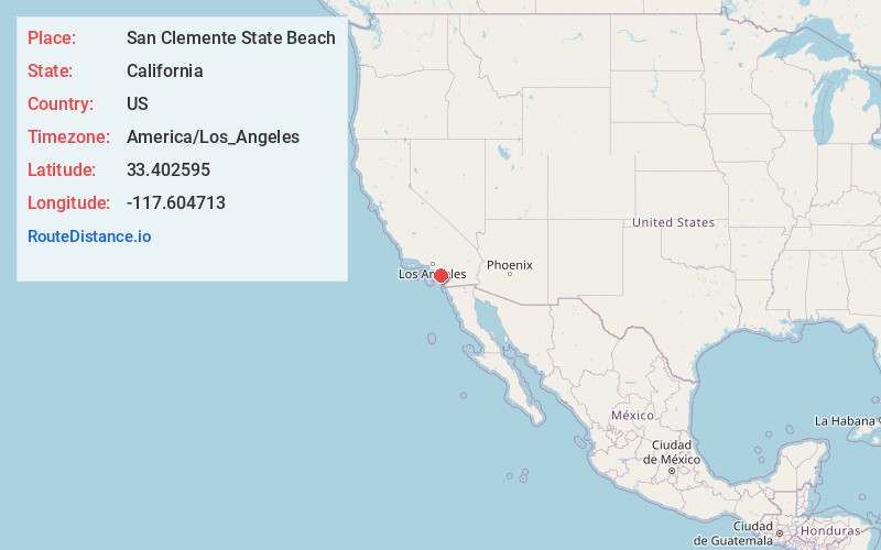
Distance to San Clemente State Beach, California

Calculating Your Route
Just a moment while we process your request...
Location Information
-
Full AddressSan Clemente State Beach, San Clemente, CA 92672
-
Coordinates33.4025946, -117.6047125
-
LocationSan Clemente , California , US
-
TimezoneAmerica/Los_Angeles
-
Current Local Time7:23:57 AM America/Los_AngelesFriday, June 20, 2025
-
Page Views0
About San Clemente State Beach
Backed by a steep bluff, this mile-long beach offers water sports, camping, picnicking & facilities.


Nearby Places
Found 10 places within 50 miles

San Clemente
1.8 mi
2.9 km
San Clemente, CA
Get directions

San Onofre Beach
3.1 mi
5.0 km
San Onofre Beach, California
Get directions

Dana Point
7.0 mi
11.3 km
Dana Point, CA
Get directions

San Juan Capistrano
7.6 mi
12.2 km
San Juan Capistrano, CA
Get directions

Agra
7.7 mi
12.4 km
Agra, CA
Get directions

Ladera Ranch
10.4 mi
16.7 km
Ladera Ranch, CA
Get directions

Laguna Niguel
10.5 mi
16.9 km
Laguna Niguel, CA
Get directions

Aliso Beach
11.3 mi
18.2 km
Aliso Beach, Laguna Beach, CA 92651
Get directions

Las Flores
12.9 mi
20.8 km
Las Flores, CA
Get directions

Top of the World
13.3 mi
21.4 km
Top of the World, Laguna Beach, CA 92651
Get directions
Location Links
Local Weather
Weather Information
Coming soon!
Location Map
Static map view of San Clemente State Beach, California
Browse Places by Distance
Places within specific distances from San Clemente State Beach
Short Distances
Long Distances
Click any distance to see all places within that range from San Clemente State Beach. Distances shown in miles (1 mile ≈ 1.61 kilometers).