Distance to Sand Springs, Montana

Calculating Your Route
Just a moment while we process your request...
Location Information
-
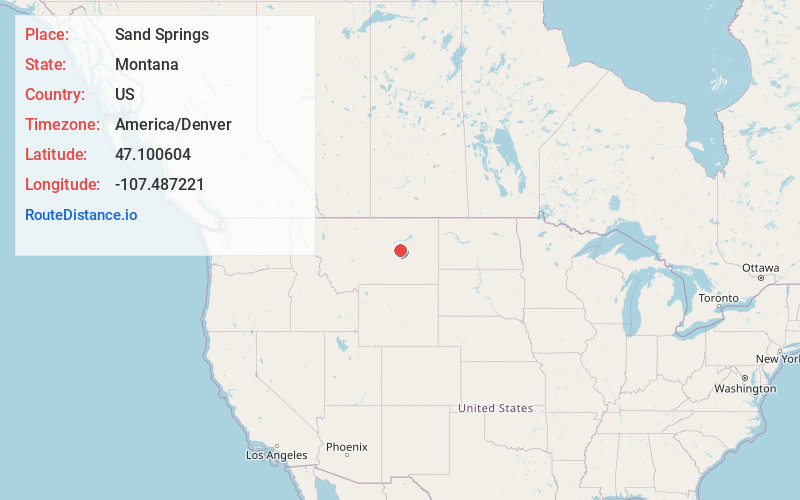
Full AddressSand Springs, Jordan, MT 59077
-
Coordinates47.1006035, -107.4872213
-
NeighborhoodSand Springs
-
LocationJordan , Montana , US
-
TimezoneAmerica/Denver
-
Current Local Time2:52:42 AM America/DenverFriday, June 13, 2025
-
Page Views0
About Sand Springs
Sand Springs is an unincorporated community in southwestern Garfield County, Montana, United States. It lies along the northern side of Highway 200, southwest of the town of Jordan, the county seat of Garfield County. Its elevation is 3,192 feet. It has a population of approximately nine people.
Nearby Places
Found 10 places within 50 miles

Steve Forks
13.8 mi
22.2 km
Steve Forks, MT 59077
Get directions
Benzien
14.0 mi
22.5 km
Benzien, MT 59077
Get directions

Mosby
20.1 mi
32.3 km
Mosby, MT 59058
Get directions
Ross Hall
22.5 mi
36.2 km
Ross Hall, MT 59058
Get directions
Cat Creek
24.5 mi
39.4 km
Cat Creek, MT 59087
Get directions

Jordan
31.1 mi
50.1 km
Jordan, MT
Get directions
Sumatra
33.5 mi
53.9 km
Sumatra, MT 59054
Get directions
Galbraith
34.7 mi
55.8 km
Galbraith, MT 59054
Get directions
Bascom
35.1 mi
56.5 km
Bascom, MT 59054
Get directions

Ingomar
36.6 mi
58.9 km
Ingomar, MT
Get directions
Location Links
Local Weather
Weather Information
Coming soon!
Location Map
Static map view of Sand Springs, Montana
Browse Places by Distance
Places within specific distances from Sand Springs
Short Distances
Long Distances
Click any distance to see all places within that range from Sand Springs. Distances shown in miles (1 mile ≈ 1.61 kilometers).