Distance to Sanderson, Florida

Calculating Your Route
Just a moment while we process your request...
Location Information
-
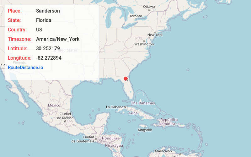
Full AddressSanderson, FL 32087
-
Coordinates30.2521786, -82.2728938
-
LocationSanderson , Florida , US
-
TimezoneAmerica/New_York
-
Current Local Time10:27:03 PM America/New_YorkTuesday, June 17, 2025
-
Page Views0
About Sanderson
Sanderson is an unincorporated community in Baker County, Florida, United States. The main road through Sanderson is U.S. Route 90, which is intersected by County Roads 229 and 127. Sanderson is also the headquarters of the Baker County Road Department. The town was named after John Pease Sanderson.
Nearby Places
Found 10 places within 50 miles

Margaretta
3.3 mi
5.3 km
Margaretta, FL 32040
Get directions
Pine Top
5.7 mi
9.2 km
Pine Top, FL 32040
Get directions

Glen St Mary
6.8 mi
10.9 km
Glen St Mary, FL 32040
Get directions
Manning
7.9 mi
12.7 km
Manning, FL 32040
Get directions
Sapp
8.9 mi
14.3 km
Sapp, FL 32040
Get directions

Macclenny
9.2 mi
14.8 km
Macclenny, FL 32063
Get directions
Steckert
9.3 mi
15.0 km
Steckert, FL 32063
Get directions
Olustee
9.9 mi
15.9 km
Olustee, FL 32087
Get directions
Labuena
10.4 mi
16.7 km
Labuena, FL 32063
Get directions
Ellerbee
10.9 mi
17.5 km
Ellerbee, FL 32083
Get directions
Location Links
Local Weather
Weather Information
Coming soon!
Location Map
Static map view of Sanderson, Florida
Browse Places by Distance
Places within specific distances from Sanderson
Short Distances
Long Distances
Click any distance to see all places within that range from Sanderson. Distances shown in miles (1 mile ≈ 1.61 kilometers).