Distance to Seminole, Alabama

Calculating Your Route
Just a moment while we process your request...
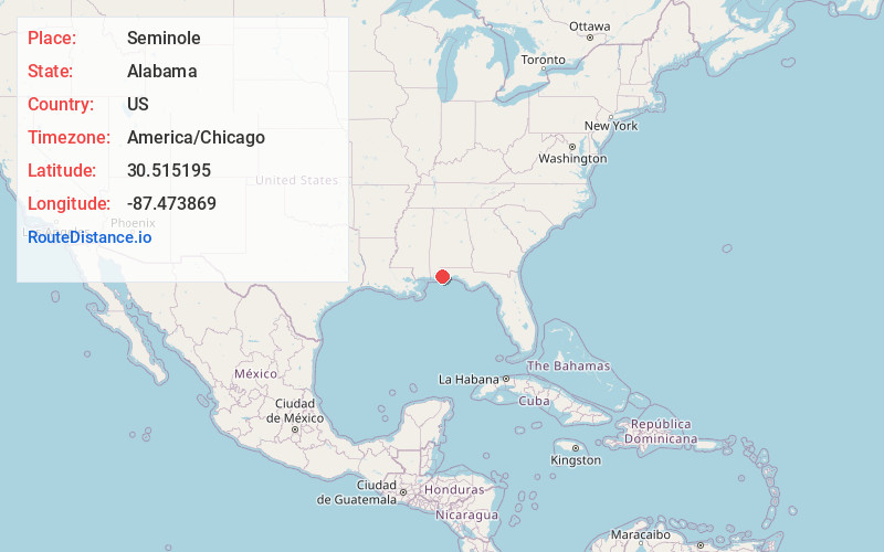
Location Information
-
Full AddressSeminole, AL 36574
-
Coordinates30.5151954, -87.4738692
-
LocationSeminole , Alabama , US
-
TimezoneAmerica/Chicago
-
Current Local Time3:59:04 PM America/ChicagoMonday, June 2, 2025
-
Page Views0
About Seminole
Seminole is an unincorporated community in Baldwin County, Alabama, United States. Seminole is located along U.S. Route 90, 14.4 miles east of Robertsdale.


Nearby Places
Found 10 places within 50 miles

Lillian
7.3 mi
11.7 km
Lillian, AL 36549
Get directions

Elberta
10.1 mi
16.3 km
Elberta, AL 36530
Get directions

Bellview
10.2 mi
16.4 km
Bellview, FL
Get directions

Perdido Beach
11.1 mi
17.9 km
Perdido Beach, AL 36530
Get directions

Gonzalez
11.8 mi
19.0 km
Gonzalez, FL
Get directions
Myrtle Grove
11.9 mi
19.2 km
Myrtle Grove, FL
Get directions
Ensley
12.0 mi
19.3 km
Ensley, FL
Get directions

West Pensacola
13.1 mi
21.1 km
West Pensacola, FL
Get directions

Summerdale
13.6 mi
21.9 km
Summerdale, AL
Get directions

Robertsdale
14.1 mi
22.7 km
Robertsdale, AL
Get directions
Location Links
Local Weather
Weather Information
Coming soon!
Location Map
Static map view of Seminole, Alabama
Browse Places by Distance
Places within specific distances from Seminole
Short Distances
Long Distances
Click any distance to see all places within that range from Seminole. Distances shown in miles (1 mile ≈ 1.61 kilometers).