Distance to Seneca, Maryland

Calculating Your Route
Just a moment while we process your request...
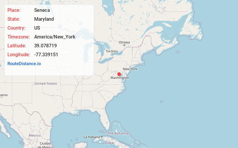
Location Information
-
Full AddressSeneca, Darnestown, MD 20874
-
Coordinates39.078719, -77.3391513
-
LocationDarnestown , Maryland , US
-
TimezoneAmerica/New_York
-
Current Local Time11:22:29 PM America/New_YorkThursday, June 19, 2025
-
Page Views0
About Seneca
Seneca is an unincorporated community in Montgomery County, Maryland, United States. It is located near the intersection of River Road and Seneca Creek, not far from the Chesapeake and Ohio Canal and Potomac River.
Nearby Places
Found 10 places within 50 miles

Rushville
0.9 mi
1.4 km
Rushville, Darnestown, MD 20854
Get directions
Lowes Island
1.5 mi
2.4 km
Lowes Island, VA 20165
Get directions

Darnestown
3.1 mi
5.0 km
Darnestown, MD
Get directions
Sugarland
3.1 mi
5.0 km
Sugarland, MD 20837
Get directions
Leighs
3.2 mi
5.1 km
Leighs, Great Falls, VA 22066
Get directions
Dawsonville
3.4 mi
5.5 km
Dawsonville, MD 20837
Get directions
Blackrock Mill
3.6 mi
5.8 km
Blackrock Mill, Darnestown, MD 20874
Get directions
Deanwood
3.9 mi
6.3 km
Deanwood, Great Falls, VA 22066
Get directions
Sugarland Run
4.0 mi
6.4 km
Sugarland Run, VA 20164
Get directions
Brownstown
4.9 mi
7.9 km
Brownstown, MD 20874
Get directions
Location Links
Local Weather
Weather Information
Coming soon!
Location Map
Static map view of Seneca, Maryland
Browse Places by Distance
Places within specific distances from Seneca
Short Distances
Long Distances
Click any distance to see all places within that range from Seneca. Distances shown in miles (1 mile ≈ 1.61 kilometers).