Distance to Shady Bend, Kansas

Calculating Your Route
Just a moment while we process your request...
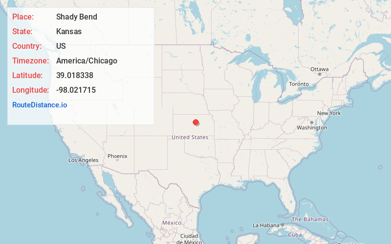
Location Information
-
Full AddressShady Bend, Colorado Township, KS 67455
-
Coordinates39.0183384, -98.0217149
-
LocationColorado Township , Kansas , US
-
TimezoneAmerica/Chicago
-
Current Local Time10:20:45 PM America/ChicagoWednesday, June 18, 2025
-
Page Views0
About Shady Bend
Shady Bend is an unincorporated community in Lincoln County, Kansas, United States. Shady Bend is located at 39°01′06″N 98°01′18″W.
Nearby Places
Found 10 places within 50 miles

Beverly
2.5 mi
4.0 km
Beverly, KS 67423
Get directions

Lincoln
6.9 mi
11.1 km
Lincoln, KS 67455
Get directions

Juniata
7.8 mi
12.6 km
Juniata, Madison Township, KS 67423
Get directions
Tescott
7.9 mi
12.7 km
Tescott, KS 67484
Get directions
Glendale
11.4 mi
18.3 km
Glendale, KS 67425
Get directions
Ada
11.6 mi
18.7 km
Ada, KS 67467
Get directions
Barnard
11.9 mi
19.2 km
Barnard, KS 67418
Get directions
Goldenrod
12.3 mi
19.8 km
Goldenrod, Marion Township, KS 67455
Get directions
Culver
14.5 mi
23.3 km
Culver, KS 67484
Get directions
Brewer
14.5 mi
23.3 km
Brewer, Center Township, KS 67467
Get directions
Location Links
Local Weather
Weather Information
Coming soon!
Location Map
Static map view of Shady Bend, Kansas
Browse Places by Distance
Places within specific distances from Shady Bend
Short Distances
Long Distances
Click any distance to see all places within that range from Shady Bend. Distances shown in miles (1 mile ≈ 1.61 kilometers).