Distance to Sheridan County, North Dakota

Calculating Your Route
Just a moment while we process your request...
Location Information
-
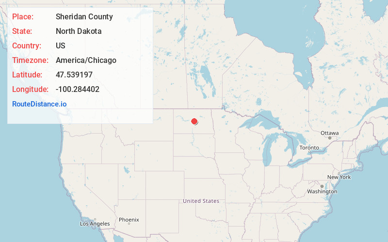
Full AddressSheridan County, ND
-
Coordinates47.5391971, -100.2844016
-
LocationNorth Dakota , US
-
TimezoneAmerica/Chicago
-
Current Local Time4:09:23 AM America/ChicagoSunday, June 15, 2025
-
Page Views0
About Sheridan County
Sheridan County is a county located in the U.S. state of North Dakota. As of the 2020 census, the population was 1,265, making it the third-least populous county in North Dakota. Its county seat is McClusky.
Nearby Places
Found 10 places within 50 miles

Denhoff
4.5 mi
7.2 km
Denhoff, ND 58430
Get directions
Lincoln Valley
6.9 mi
11.1 km
Lincoln Valley, ND 58430
Get directions

McClusky
8.3 mi
13.4 km
McClusky, ND 58463
Get directions
Pickardville
14.6 mi
23.5 km
Pickardville, ND 58463
Get directions
Hurdsfield
17.8 mi
28.6 km
Hurdsfield, ND 58451
Get directions
Martin
21.4 mi
34.4 km
Martin, ND 58758
Get directions
Mercer Township
21.8 mi
35.1 km
Mercer Township, ND 58559
Get directions
Chaseley
22.5 mi
36.2 km
Chaseley, ND 58423
Get directions

Harvey
22.8 mi
36.7 km
Harvey, ND 58341
Get directions

Anamoose
23.8 mi
38.3 km
Anamoose, ND 58710
Get directions
Location Links
Local Weather
Weather Information
Coming soon!
Location Map
Static map view of Sheridan County, North Dakota
Browse Places by Distance
Places within specific distances from Sheridan County
Short Distances
Long Distances
Click any distance to see all places within that range from Sheridan County. Distances shown in miles (1 mile ≈ 1.61 kilometers).