Distance to Signal Butte, California

Calculating Your Route
Just a moment while we process your request...
Location Information
-
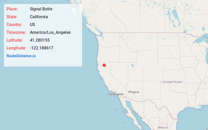
Full AddressSignal Butte, CA 96067
-
Coordinates41.2801551, -122.1886174
-
LocationCalifornia , US
-
TimezoneAmerica/Los_Angeles
-
Current Local Time3:59:17 AM America/Los_AngelesSaturday, June 21, 2025
-
Page Views0
Nearby Places
Found 10 places within 50 miles

McCloud
3.1 mi
5.0 km
McCloud, CA 96057
Get directions

Azalea
5.9 mi
9.5 km
Azalea, CA 96067
Get directions

Dunsmuir
6.6 mi
10.6 km
Dunsmuir, CA
Get directions

Mt Shasta
6.7 mi
10.8 km
Mt Shasta, CA 96067
Get directions

Big Springs
7.9 mi
12.7 km
Big Springs, Mt Shasta, CA 96067
Get directions

Castella
8.8 mi
14.2 km
Castella, CA
Get directions
Wyntoon
8.9 mi
14.3 km
Wyntoon, CA 96057
Get directions
Rinckel
11.7 mi
18.8 km
Rinckel, CA 96017
Get directions

Weed
14.2 mi
22.9 km
Weed, CA
Get directions

Carrick
14.7 mi
23.7 km
Carrick, CA 96094
Get directions
Location Links
Local Weather
Weather Information
Coming soon!
Location Map
Static map view of Signal Butte, California
Browse Places by Distance
Places within specific distances from Signal Butte
Short Distances
Long Distances
Click any distance to see all places within that range from Signal Butte. Distances shown in miles (1 mile ≈ 1.61 kilometers).