Distance to Sivells Bend, Texas

Calculating Your Route
Just a moment while we process your request...
Location Information
-
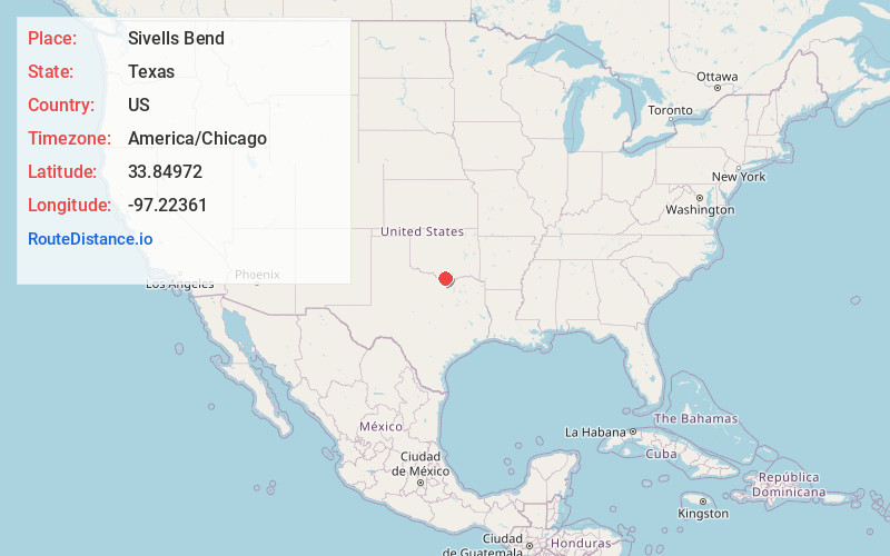
Full AddressSivells Bend, TX 76240
-
Coordinates33.84972, -97.2236099
-
LocationSivells Bend , Texas , US
-
TimezoneAmerica/Chicago
-
Current Local Time11:33:42 AM America/ChicagoSunday, June 22, 2025
-
Page Views0
About Sivells Bend
Sivells Bend is an unincorporated community located just four miles south of the Oklahoma border in Cooke County, Texas, United States. According to the Handbook of Texas, the community had a population of 50 in 2000. It is located within the Dallas-Fort Worth Metroplex.
Nearby Places
Found 10 places within 50 miles

Burneyville
5.5 mi
8.9 km
Burneyville, OK 73430
Get directions

Thackerville
6.0 mi
9.7 km
Thackerville, OK 73459
Get directions

Marysville
8.4 mi
13.5 km
Marysville, TX 76252
Get directions

Jimtown
8.4 mi
13.5 km
Jimtown, OK 73430
Get directions

Marietta
8.6 mi
13.8 km
Marietta, OK 73448
Get directions
Pike
9.8 mi
15.8 km
Pike, OK 73430
Get directions
Eastman
9.9 mi
15.9 km
Eastman, OK 73430
Get directions

Leon
12.0 mi
19.3 km
Leon, OK
Get directions
Greenville
12.2 mi
19.6 km
Greenville, OK 73448
Get directions
Bulcher
12.3 mi
19.8 km
Bulcher, TX 76252
Get directions
Location Links
Local Weather
Weather Information
Coming soon!
Location Map
Static map view of Sivells Bend, Texas
Browse Places by Distance
Places within specific distances from Sivells Bend
Short Distances
Long Distances
Click any distance to see all places within that range from Sivells Bend. Distances shown in miles (1 mile ≈ 1.61 kilometers).