Distance to Skyberg, Minnesota

Calculating Your Route
Just a moment while we process your request...
Location Information
-
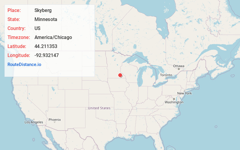
Full AddressSkyberg, Kenyon Township, MN 55946
-
Coordinates44.2113532, -92.9321465
-
LocationKenyon Township , Minnesota , US
-
TimezoneAmerica/Chicago
-
Current Local Time9:23:20 PM America/ChicagoTuesday, June 24, 2025
-
Page Views0
About Skyberg
Skyberg is an unincorporated community in Kenyon Township, Goodhue County, Minnesota, United States.
The community is located southeast of Kenyon at the junction of State Highway 56 and County 11 Boulevard.
Skyberg is located five miles southeast of Kenyon, and four miles north of West Concord.
Nearby Places
Found 10 places within 50 miles

West Concord
4.4 mi
7.1 km
West Concord, MN 55985
Get directions

Kenyon
5.0 mi
8.0 km
Kenyon, MN 55946
Get directions

Moland
6.5 mi
10.5 km
Moland, Merton Township, MN 55946
Get directions
Berne
8.3 mi
13.4 km
Berne, MN 55985
Get directions
Wanamingo
9.5 mi
15.3 km
Wanamingo, MN 55983
Get directions
Nansen
9.6 mi
15.4 km
Nansen, Holden Township, MN 55946
Get directions

Nerstrand
11.2 mi
18.0 km
Nerstrand, MN 55053
Get directions
Merton
11.5 mi
18.5 km
Merton, MN 55060
Get directions
Ruskin
12.0 mi
19.3 km
Ruskin, MN 55021
Get directions

Claremont
12.0 mi
19.3 km
Claremont, MN 55924
Get directions
Location Links
Local Weather
Weather Information
Coming soon!
Location Map
Static map view of Skyberg, Minnesota
Browse Places by Distance
Places within specific distances from Skyberg
Short Distances
Long Distances
Click any distance to see all places within that range from Skyberg. Distances shown in miles (1 mile ≈ 1.61 kilometers).