Distance to Moland, Minnesota

Calculating Your Route
Just a moment while we process your request...
Location Information
-
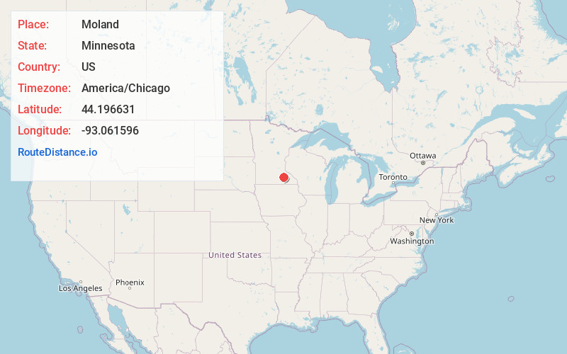
Full AddressMoland, Merton Township, MN 55946
-
Coordinates44.1966308, -93.061596
-
LocationMerton Township , Minnesota , US
-
TimezoneAmerica/Chicago
-
Current Local Time6:25:19 PM America/ChicagoSunday, June 15, 2025
-
Page Views0
About Moland
Moland is an unincorporated community in Rice and Steele counties in the U.S. state of Minnesota.
The center of Moland is generally considered near the intersection of Lamb Avenue and 270th Street E / NE 86th Street.
Nearby Places
Found 10 places within 50 miles

Merton
5.5 mi
8.9 km
Merton, MN 55060
Get directions

Kenyon
6.4 mi
10.3 km
Kenyon, MN 55946
Get directions

West Concord
8.6 mi
13.8 km
West Concord, MN 55985
Get directions

Medford
9.3 mi
15.0 km
Medford, MN 55049
Get directions
Havana
9.9 mi
15.9 km
Havana, MN 55060
Get directions

Nerstrand
10.0 mi
16.1 km
Nerstrand, MN 55053
Get directions

Claremont
11.0 mi
17.7 km
Claremont, MN 55924
Get directions

Owatonna
11.1 mi
17.9 km
Owatonna, MN
Get directions
Cannon City
11.8 mi
19.0 km
Cannon City, MN 55021
Get directions

Faribault
12.3 mi
19.8 km
Faribault, MN 55021
Get directions
Location Links
Local Weather
Weather Information
Coming soon!
Location Map
Static map view of Moland, Minnesota
Browse Places by Distance
Places within specific distances from Moland
Short Distances
Long Distances
Click any distance to see all places within that range from Moland. Distances shown in miles (1 mile ≈ 1.61 kilometers).