Distance to Smithfield, Kansas

Calculating Your Route
Just a moment while we process your request...
Location Information
-
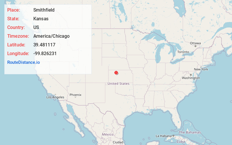
Full AddressSmithfield, Graham Township, KS 67642
-
Coordinates39.4811168, -99.8262305
-
LocationGraham Township , Kansas , US
-
TimezoneAmerica/Chicago
-
Current Local Time4:46:07 PM America/ChicagoSaturday, May 31, 2025
-
Page Views0
Nearby Places
Found 10 places within 50 miles

Hill City
8.1 mi
13.0 km
Hill City, KS
Get directions

Edmond
10.1 mi
16.3 km
Edmond, KS 67645
Get directions
Bogue
11.1 mi
17.9 km
Bogue, KS 67625
Get directions
Densmore
11.8 mi
19.0 km
Densmore, KS 67645
Get directions

Penokee
11.9 mi
19.2 km
Penokee, KS 67659
Get directions
Lenora
13.0 mi
20.9 km
Lenora, KS 67645
Get directions

Nicodemus
13.1 mi
21.1 km
Nicodemus, KS 67625
Get directions
Morland
16.1 mi
25.9 km
Morland, KS 67650
Get directions
Damar
17.2 mi
27.7 km
Damar, KS 67632
Get directions
New Almelo
17.4 mi
28.0 km
New Almelo, KS 67629
Get directions
Location Links
Local Weather
Weather Information
Coming soon!
Location Map
Static map view of Smithfield, Kansas
Browse Places by Distance
Places within specific distances from Smithfield
Short Distances
Long Distances
Click any distance to see all places within that range from Smithfield. Distances shown in miles (1 mile ≈ 1.61 kilometers).