Distance to Snodes, Ohio

Calculating Your Route
Just a moment while we process your request...
Location Information
-
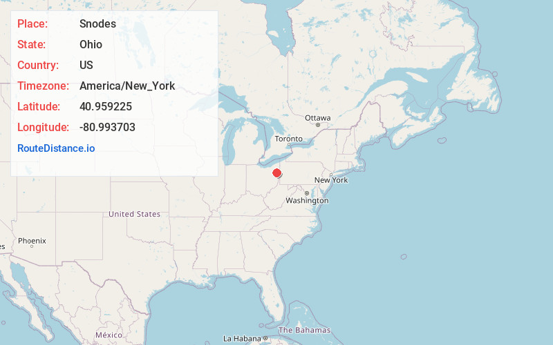
Full AddressSnodes, Smith Township, OH 44609
-
Coordinates40.9592251, -80.9937026
-
LocationSmith Township , Ohio , US
-
TimezoneAmerica/New_York
-
Current Local Time12:02:52 PM America/New_YorkMonday, June 23, 2025
-
Page Views0
Nearby Places
Found 10 places within 50 miles

Beloit
2.5 mi
4.0 km
Beloit, OH
Get directions

Christytown
2.8 mi
4.5 km
Christytown, Berlin Township, OH 44449
Get directions

Sebring
2.8 mi
4.5 km
Sebring, OH
Get directions
Naylor
3.0 mi
4.8 km
Naylor, Goshen Township, OH 44609
Get directions
Maple Ridge
3.9 mi
6.3 km
Maple Ridge, OH
Get directions

Damascus
4.4 mi
7.1 km
Damascus, OH
Get directions

Berlin Center
5.1 mi
8.2 km
Berlin Center, OH 44401
Get directions
Pointview
5.1 mi
8.2 km
Pointview, Goshen Township, OH 44460
Get directions

Alliance
6.6 mi
10.6 km
Alliance, OH 44601
Get directions

North Georgetown
8.0 mi
12.9 km
North Georgetown, OH
Get directions
Location Links
Local Weather
Weather Information
Coming soon!
Location Map
Static map view of Snodes, Ohio
Browse Places by Distance
Places within specific distances from Snodes
Short Distances
Long Distances
Click any distance to see all places within that range from Snodes. Distances shown in miles (1 mile ≈ 1.61 kilometers).