Distance to South Lincolnton, North Carolina

Calculating Your Route
Just a moment while we process your request...
Location Information
-
Full AddressSouth Lincolnton, Lincolnton, NC 28092
-
Coordinates35.4543009, -81.2436915
-
LocationLincolnton , North Carolina , US
-
TimezoneAmerica/New_York
-
Current Local Time7:33:45 PM America/New_YorkWednesday, July 2, 2025
-
Page Views0
Nearby Places
Found 10 places within 50 miles

Lincolnton
1.5 mi
2.4 km
Lincolnton, NC 28092
Get directions

Crouse
4.2 mi
6.8 km
Crouse, NC
Get directions

High Shoals
4.3 mi
6.9 km
High Shoals, NC
Get directions

Iron Station
5.0 mi
8.0 km
Iron Station, NC 28080
Get directions
Alexis
8.0 mi
12.9 km
Alexis, NC
Get directions

Maiden
8.6 mi
13.8 km
Maiden, NC
Get directions

Cherryville
9.3 mi
15.0 km
Cherryville, NC 28021
Get directions

Dallas
10.3 mi
16.6 km
Dallas, NC
Get directions
Dellview
10.4 mi
16.7 km
Dellview, NC 28021
Get directions

Stanley
11.1 mi
17.9 km
Stanley, NC
Get directions
Location Links
Local Weather
Weather Information
Coming soon!
Location Map
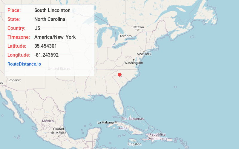
Static map view of South Lincolnton, North Carolina
Browse Places by Distance
Places within specific distances from South Lincolnton
Short Distances
Long Distances
Click any distance to see all places within that range from South Lincolnton. Distances shown in miles (1 mile ≈ 1.61 kilometers).