Distance to Spring Branch West, Texas

Calculating Your Route
Just a moment while we process your request...
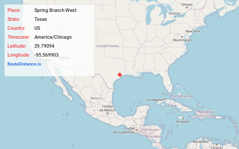
Location Information
-
Full AddressSpring Branch West, Houston, TX
-
Coordinates29.7909401, -95.5699032
-
NeighborhoodSpring Branch West
-
LocationHouston , Texas , US
-
TimezoneAmerica/Chicago
-
Current Local Time1:06:31 PM America/ChicagoFriday, June 6, 2025
-
Page Views0
About Spring Branch West
Spring Branch is a district in west-northwest Harris County, Texas, United States, roughly bordered by Tanner Road and Hempstead Road to the north, Beltway 8 to the west, Interstate 10 to the south, and the 610 Loop to the east; it is almost entirely within the city of Houston.


Nearby Places
Found 10 places within 50 miles

Jersey Village
6.7 mi
10.8 km
Jersey Village, TX
Get directions

Bellaire
8.6 mi
13.8 km
Bellaire, TX 77401
Get directions

Mission Bend
8.8 mi
14.2 km
Mission Bend, TX
Get directions

Four Corners
9.7 mi
15.6 km
Four Corners, TX
Get directions

Meadows Place
9.7 mi
15.6 km
Meadows Place, TX 77477
Get directions
Southside Place
9.9 mi
15.9 km
Southside Place, TX
Get directions

Cinco Ranch
11.8 mi
19.0 km
Cinco Ranch, TX
Get directions

Stafford
12.1 mi
19.5 km
Stafford, TX 77477
Get directions

Houston
12.2 mi
19.6 km
Houston, TX
Get directions

Aldine
12.7 mi
20.4 km
Aldine, TX
Get directions
Location Links
Local Weather
Weather Information
Coming soon!
Location Map
Static map view of Spring Branch West, Texas
Browse Places by Distance
Places within specific distances from Spring Branch West
Short Distances
Long Distances
Click any distance to see all places within that range from Spring Branch West. Distances shown in miles (1 mile ≈ 1.61 kilometers).