Distance to St Clair, Georgia

Calculating Your Route
Just a moment while we process your request...
Location Information
-
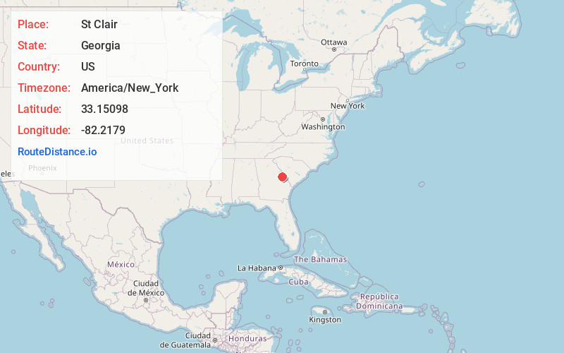
Full AddressSt Clair, GA 30816
-
Coordinates33.1509803, -82.2178999
-
LocationGeorgia , US
-
TimezoneAmerica/New_York
-
Current Local Time5:01:44 PM America/New_YorkFriday, June 20, 2025
-
Page Views0
Nearby Places
Found 10 places within 50 miles

Gough
4.1 mi
6.6 km
Gough, GA
Get directions

Keysville
5.8 mi
9.3 km
Keysville, GA 30816
Get directions
Matthews
6.6 mi
10.6 km
Matthews, GA
Get directions
Stellaville
7.1 mi
11.4 km
Stellaville, GA 30833
Get directions
Vidette
8.0 mi
12.9 km
Vidette, GA
Get directions

Blythe
9.8 mi
15.8 km
Blythe, GA 30805
Get directions

Wrens
10.8 mi
17.4 km
Wrens, GA 30833
Get directions
Rosier
12.0 mi
19.3 km
Rosier, GA 30434
Get directions

Waynesboro
12.4 mi
20.0 km
Waynesboro, GA 30830
Get directions

Hephzibah
13.3 mi
21.4 km
Hephzibah, GA 30815
Get directions
Location Links
Local Weather
Weather Information
Coming soon!
Location Map
Static map view of St Clair, Georgia
Browse Places by Distance
Places within specific distances from St Clair
Short Distances
Long Distances
Click any distance to see all places within that range from St Clair. Distances shown in miles (1 mile ≈ 1.61 kilometers).