Distance to St Helens, Kentucky

Calculating Your Route
Just a moment while we process your request...
Location Information
-
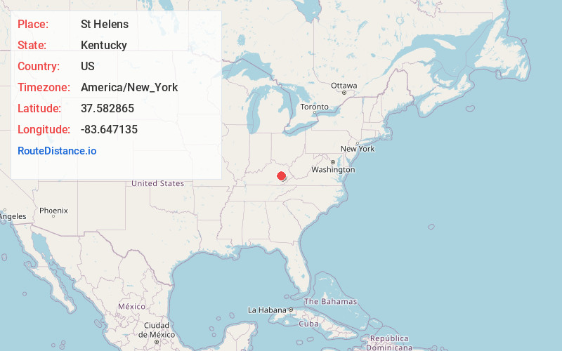
Full AddressSt Helens, KY 41311
-
Coordinates37.5828647, -83.6471349
-
LocationSt Helens , Kentucky , US
-
TimezoneAmerica/New_York
-
Current Local Time10:55:51 PM America/New_YorkWednesday, June 18, 2025
-
Page Views0
About St Helens
Saint Helens is an unincorporated community in Lee County, Kentucky, in the United States. It lies along Route 52 east of the city of Beattyville, the county seat of Lee County. Its elevation is 728 feet. It has a post office with the ZIP code 41368.


Nearby Places
Found 10 places within 50 miles

Airedale
1.4 mi
2.3 km
Airedale, KY 41311
Get directions
Maloney
1.5 mi
2.4 km
Maloney, KY 41311
Get directions
Monica
2.5 mi
4.0 km
Monica, KY 41311
Get directions
Primrose
2.5 mi
4.0 km
Primrose, KY 41311
Get directions

Beattyville
3.4 mi
5.5 km
Beattyville, KY 41311
Get directions
Tallega
3.5 mi
5.6 km
Tallega, KY 41311
Get directions
Canyon Falls
3.8 mi
6.1 km
Canyon Falls, KY 41311
Get directions
Vada
4.1 mi
6.6 km
Vada, KY 41311
Get directions

Lee County
4.1 mi
6.6 km
Lee County, KY
Get directions
Lone
4.4 mi
7.1 km
Lone, KY 41311
Get directions
Location Links
Local Weather
Weather Information
Coming soon!
Location Map
Static map view of St Helens, Kentucky
Browse Places by Distance
Places within specific distances from St Helens
Short Distances
Long Distances
Click any distance to see all places within that range from St Helens. Distances shown in miles (1 mile ≈ 1.61 kilometers).