Distance to Stafford, Ohio

Calculating Your Route
Just a moment while we process your request...
Location Information
-
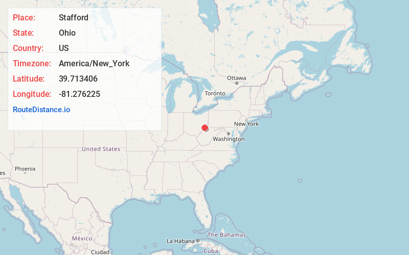
Full AddressStafford, OH 43786
-
Coordinates39.7134059, -81.2762252
-
LocationStafford , Ohio , US
-
TimezoneAmerica/New_York
-
Current Local Time2:49:20 AM America/New_YorkSunday, May 25, 2025
-
Page Views0
About Stafford
Stafford is a village in Monroe County, Ohio, United States. The population was 71 at the 2020 census.
Nearby Places
Found 10 places within 50 miles

Lewisville
4.7 mi
7.6 km
Lewisville, OH 43754
Get directions

Summerfield
6.6 mi
10.6 km
Summerfield, OH 43788
Get directions

Woodsfield
9.2 mi
14.8 km
Woodsfield, OH 43793
Get directions
Dexter City
11.1 mi
17.9 km
Dexter City, OH
Get directions

Macksburg
11.1 mi
17.9 km
Macksburg, OH 45746
Get directions

Sarahsville
12.1 mi
19.5 km
Sarahsville, OH
Get directions

Lower Salem
12.3 mi
19.8 km
Lower Salem, OH 45745
Get directions

Caldwell
13.0 mi
20.9 km
Caldwell, OH 43724
Get directions

Jerusalem
13.7 mi
22.0 km
Jerusalem, OH
Get directions

Wilson
14.9 mi
24.0 km
Wilson, OH 43716
Get directions
Location Links
Local Weather
Weather Information
Coming soon!
Location Map
Static map view of Stafford, Ohio
Browse Places by Distance
Places within specific distances from Stafford
Short Distances
Long Distances
Click any distance to see all places within that range from Stafford. Distances shown in miles (1 mile ≈ 1.61 kilometers).