Distance to Stanton, Iowa

Calculating Your Route
Just a moment while we process your request...
Location Information
-
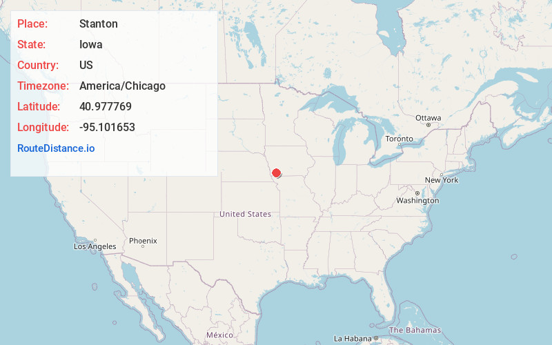
Full AddressStanton, IA 51573
-
Coordinates40.9777689, -95.1016534
-
LocationStanton , Iowa , US
-
TimezoneAmerica/Chicago
-
Current Local Time10:23:49 PM America/ChicagoSaturday, June 21, 2025
-
Page Views0
About Stanton
Stanton is a city in Montgomery County, Iowa, United States. The population was 678 at the time of the 2020 census.
Stanton was first settled by Swedish immigrants. Stanton is best known for its two water towers, the tanks of which are painted and shaped like a giant coffee pot and coffee cup.
Nearby Places
Found 10 places within 50 miles

Red Oak
6.8 mi
10.9 km
Red Oak, IA 51566
Get directions

Villisca
7.3 mi
11.7 km
Villisca, IA 50864
Get directions

Essex
14.6 mi
23.5 km
Essex, IA 51638
Get directions

Clarinda
16.6 mi
26.7 km
Clarinda, IA 51632
Get directions

Griswold
17.9 mi
28.8 km
Griswold, IA 51535
Get directions

Corning
19.2 mi
30.9 km
Corning, IA 50841
Get directions

Shenandoah
20.5 mi
33.0 km
Shenandoah, IA 51601
Get directions

Carson
24.3 mi
39.1 km
Carson, IA 51525
Get directions

Malvern
25.3 mi
40.7 km
Malvern, IA 51551
Get directions

Oakland
27.6 mi
44.4 km
Oakland, IA 51560
Get directions
Location Links
Local Weather
Weather Information
Coming soon!
Location Map
Static map view of Stanton, Iowa
Browse Places by Distance
Places within specific distances from Stanton
Short Distances
Long Distances
Click any distance to see all places within that range from Stanton. Distances shown in miles (1 mile ≈ 1.61 kilometers).