Distance to Stanton, Kansas

Calculating Your Route
Just a moment while we process your request...
Location Information
-
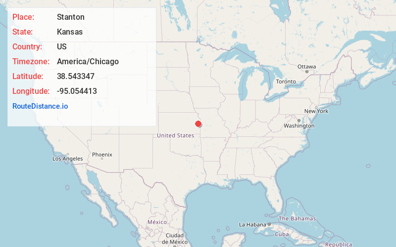
Full AddressStanton, KS 66064
-
Coordinates38.5433469, -95.0544126
-
LocationStanton , Kansas , US
-
TimezoneAmerica/Chicago
-
Current Local Time12:00:36 AM America/ChicagoMonday, May 19, 2025
-
Page Views0
Nearby Places
Found 10 places within 50 miles

O'Brien
2.5 mi
4.0 km
O'Brien, Osawatomie Township, KS 66064
Get directions
Rantoul
2.6 mi
4.2 km
Rantoul, KS 66079
Get directions
Peoria
5.8 mi
9.3 km
Peoria, KS 66079
Get directions
Imes
6.0 mi
9.7 km
Imes, Peoria Township, KS 66079
Get directions

Osawatomie
6.5 mi
10.5 km
Osawatomie, KS
Get directions

Lane
7.3 mi
11.7 km
Lane, KS 66042
Get directions

Paola
9.7 mi
15.6 km
Paola, KS 66071
Get directions
Henson
10.5 mi
16.9 km
Henson, Valley Township, KS 66071
Get directions
Le Loup
11.9 mi
19.2 km
Le Loup, Franklin Township, KS 66092
Get directions

Wellsville
12.2 mi
19.6 km
Wellsville, KS 66092
Get directions
Location Links
Local Weather
Weather Information
Coming soon!
Location Map
Static map view of Stanton, Kansas
Browse Places by Distance
Places within specific distances from Stanton
Short Distances
Long Distances
Click any distance to see all places within that range from Stanton. Distances shown in miles (1 mile ≈ 1.61 kilometers).