Distance to Stark City, Missouri

Calculating Your Route
Just a moment while we process your request...
Location Information
-
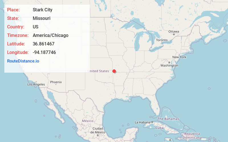
Full AddressStark City, MO 64866
-
Coordinates36.8614674, -94.1877456
-
LocationStark City , Missouri , US
-
TimezoneAmerica/Chicago
-
Current Local Time9:07:01 PM America/ChicagoMonday, June 2, 2025
-
Page Views0
About Stark City
Stark City is a town in Newton County, Missouri, United States. The population was 139 at the 2010 census, at which time it was a town. It is part of the Joplin, Missouri Metropolitan Statistical Area. It is adjacent to the battlefield of the Second Battle of Newtonia.
Nearby Places
Found 10 places within 50 miles

Newtonia
1.1 mi
1.8 km
Newtonia, MO 64866
Get directions

Granby
5.5 mi
8.9 km
Granby, MO 64844
Get directions

Fairview
6.3 mi
10.1 km
Fairview, MO 64842
Get directions

Stella
6.9 mi
11.1 km
Stella, MO 64867
Get directions

Rocky Comfort
9.6 mi
15.4 km
Rocky Comfort, MO 64861
Get directions

Wheaton
10.0 mi
16.1 km
Wheaton, MO
Get directions

Neosho
10.0 mi
16.1 km
Neosho, MO 64850
Get directions

Diamond
11.7 mi
18.8 km
Diamond, MO 64840
Get directions

Pierce City
11.9 mi
19.2 km
Pierce City, MO 65723
Get directions

Sarcoxie
14.9 mi
24.0 km
Sarcoxie, MO 64862
Get directions
Location Links
Local Weather
Weather Information
Coming soon!
Location Map
Static map view of Stark City, Missouri
Browse Places by Distance
Places within specific distances from Stark City
Short Distances
Long Distances
Click any distance to see all places within that range from Stark City. Distances shown in miles (1 mile ≈ 1.61 kilometers).