Distance to Starr, Ohio

Calculating Your Route
Just a moment while we process your request...
Location Information
-
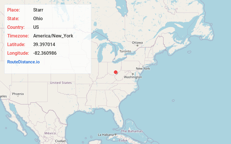
Full AddressStarr, OH 45654
-
Coordinates39.3970138, -82.360986
-
LocationStarr , Ohio , US
-
TimezoneAmerica/New_York
-
Current Local Time6:58:42 PM America/New_YorkFriday, June 20, 2025
-
Page Views0
Nearby Places
Found 10 places within 50 miles

Union Furnace
4.5 mi
7.2 km
Union Furnace, OH 43158
Get directions
Hope
5.6 mi
9.0 km
Hope, Brown Township, OH 45651
Get directions

Haydenville
6.1 mi
9.8 km
Haydenville, OH
Get directions
East Clayton
6.3 mi
10.1 km
East Clayton, York Township, OH 45764
Get directions
Ewing
6.5 mi
10.5 km
Ewing, OH 43138
Get directions
Mineral
7.2 mi
11.6 km
Mineral, Waterloo Township, OH 45766
Get directions
Creola
8.0 mi
12.9 km
Creola, OH 45622
Get directions

Nelsonville
8.1 mi
13.0 km
Nelsonville, OH 45764
Get directions

Zaleski
8.1 mi
13.0 km
Zaleski, OH
Get directions
New Marshfield
9.1 mi
14.6 km
New Marshfield, OH
Get directions
Location Links
Local Weather
Weather Information
Coming soon!
Location Map
Static map view of Starr, Ohio
Browse Places by Distance
Places within specific distances from Starr
Short Distances
Long Distances
Click any distance to see all places within that range from Starr. Distances shown in miles (1 mile ≈ 1.61 kilometers).