Distance to Steens Mountain, Oregon

Calculating Your Route
Just a moment while we process your request...
Location Information
-
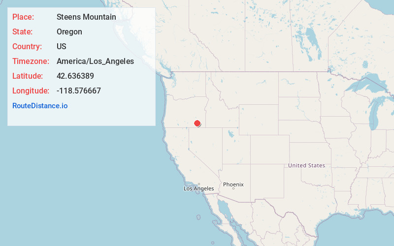
Full AddressSteens Mountain, Oregon 97721
-
Coordinates42.6363888, -118.5766666
-
LocationOregon , US
-
TimezoneAmerica/Los_Angeles
-
Current Local Time4:02:43 AM America/Los_AngelesSaturday, June 21, 2025
-
Page Views0
About Steens Mountain
Rugged, 50-mi.-long fault-block mountain & wilderness area with hiking, camping & a scenic drive.


Nearby Places
Found 10 places within 50 miles

Andrews
12.1 mi
19.5 km
Andrews, OR 97721
Get directions

Fields
26.2 mi
42.2 km
Fields, OR 97710
Get directions
Diamond
26.4 mi
42.5 km
Diamond, OR 97722
Get directions
Basque Hills
35.3 mi
56.8 km
Basque Hills, Oregon
Get directions
Lone Star Reservoir
44.7 mi
71.9 km
Lone Star Reservoir, Oregon 97910
Get directions
New Princeton
44.7 mi
71.9 km
New Princeton, OR 97721
Get directions
Voltage
44.7 mi
71.9 km
Voltage, OR 97721
Get directions

Denio
44.8 mi
72.1 km
Denio, NV 89404
Get directions
Duck Pond Ridge
46.0 mi
74.0 km
Duck Pond Ridge, Oregon 97910
Get directions
McDermitt Creek
47.0 mi
75.6 km
McDermitt Creek, Oregon
Get directions
Location Links
Local Weather
Weather Information
Coming soon!
Location Map
Static map view of Steens Mountain, Oregon
Browse Places by Distance
Places within specific distances from Steens Mountain
Short Distances
Long Distances
Click any distance to see all places within that range from Steens Mountain. Distances shown in miles (1 mile ≈ 1.61 kilometers).