Distance to Stepstone, Kentucky

Calculating Your Route
Just a moment while we process your request...
Location Information
-
Full AddressStepstone, KY 40360
-
Coordinates38.0878572, -83.829086
-
LocationKentucky , US
-
TimezoneAmerica/New_York
-
Current Local Time11:11:00 AM America/New_YorkMonday, June 23, 2025
-
Page Views0
About Stepstone
Stepstone is an unincorporated community on the border of Montgomery County, Kentucky, and Bath County, Kentucky, United States. Its post office closed in 1931, after being open for nearly 50 years.
Nearby Places
Found 10 places within 50 miles

Howards Mill
1.9 mi
3.1 km
Howards Mill, KY 40353
Get directions
Peeled Oak Creek
2.4 mi
3.9 km
Peeled Oak Creek, Kentucky 40360
Get directions
Upper Spencer
4.1 mi
6.6 km
Upper Spencer, KY 40353
Get directions

Preston
4.1 mi
6.6 km
Preston, KY 40360
Get directions
Lower Spencer
4.1 mi
6.6 km
Lower Spencer, KY 40353
Get directions

Owingsville
5.3 mi
8.5 km
Owingsville, KY 40360
Get directions
Hope
5.9 mi
9.5 km
Hope, KY 40334
Get directions

Bath County
6.1 mi
9.8 km
Bath County, KY
Get directions

Mt Sterling
6.6 mi
10.6 km
Mt Sterling, KY 40353
Get directions
Reynoldsville
7.1 mi
11.4 km
Reynoldsville, KY 40360
Get directions
Location Links
Local Weather
Weather Information
Coming soon!
Location Map
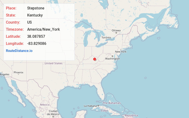
Static map view of Stepstone, Kentucky
Browse Places by Distance
Places within specific distances from Stepstone
Short Distances
Long Distances
Click any distance to see all places within that range from Stepstone. Distances shown in miles (1 mile ≈ 1.61 kilometers).