Distance to Stevens Mill, North Carolina

Calculating Your Route
Just a moment while we process your request...
Location Information
-
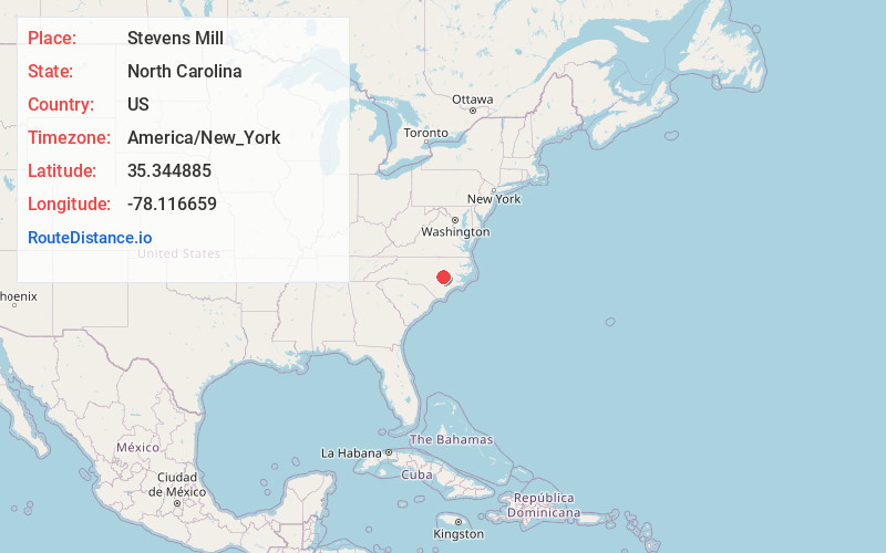
Full AddressStevens Mill, NC 27530
-
Coordinates35.3448848, -78.1166588
-
LocationNorth Carolina , US
-
TimezoneAmerica/New_York
-
Current Local Time5:29:40 AM America/New_YorkWednesday, June 18, 2025
-
Page Views0
Nearby Places
Found 10 places within 50 miles

Mar-Mac
3.5 mi
5.6 km
Mar-Mac, NC
Get directions

Grantham
4.2 mi
6.8 km
Grantham, NC 27530
Get directions
Brogden
5.9 mi
9.5 km
Brogden, NC 28333
Get directions

Goldsboro
7.4 mi
11.9 km
Goldsboro, NC
Get directions

Princeton
8.7 mi
14.0 km
Princeton, NC 27569
Get directions
Starlight
9.6 mi
15.4 km
Starlight, NC 28365
Get directions
Pike Crossroads
10.6 mi
17.1 km
Pike Crossroads, NC 27863
Get directions

Mt Olive
10.6 mi
17.1 km
Mt Olive, NC 28365
Get directions
Langston
11.2 mi
18.0 km
Langston, NC 27534
Get directions
Elroy
11.7 mi
18.8 km
Elroy, NC
Get directions
Location Links
Local Weather
Weather Information
Coming soon!
Location Map
Static map view of Stevens Mill, North Carolina
Browse Places by Distance
Places within specific distances from Stevens Mill
Short Distances
Long Distances
Click any distance to see all places within that range from Stevens Mill. Distances shown in miles (1 mile ≈ 1.61 kilometers).