Distance to Stoops, Kentucky

Calculating Your Route
Just a moment while we process your request...
Location Information
-
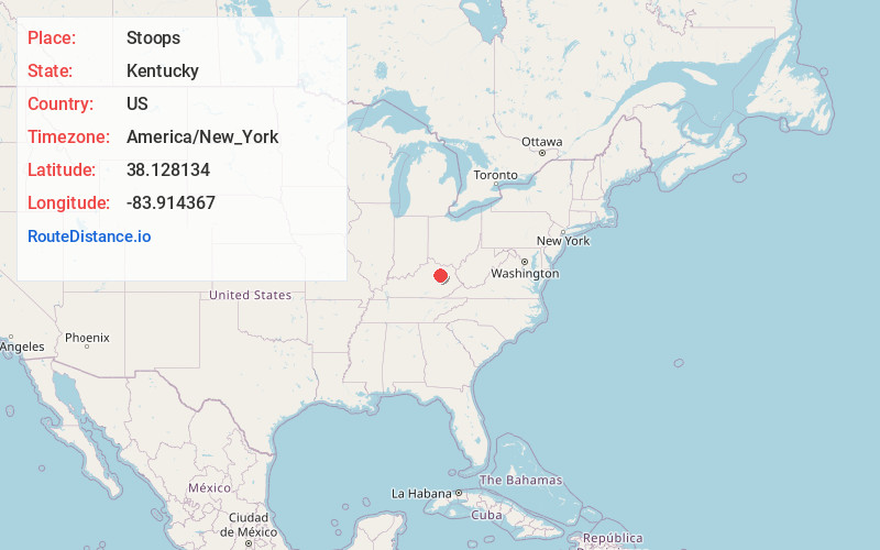
Full AddressStoops, KY 40353
-
Coordinates38.1281338, -83.9143667
-
LocationKentucky , US
-
TimezoneAmerica/New_York
-
Current Local Time3:33:03 AM America/New_YorkSaturday, June 21, 2025
-
Page Views0
About Stoops
Stoops is an unincorporated community within Montgomery County, Kentucky, United States. Its post office is closed.
Nearby Places
Found 10 places within 50 miles

Judy
2.4 mi
3.9 km
Judy, KY 40353
Get directions

Ewington
3.2 mi
5.1 km
Ewington, KY 40353
Get directions

Sharpsburg
5.2 mi
8.4 km
Sharpsburg, KY 40374
Get directions

Mt Sterling
5.2 mi
8.4 km
Mt Sterling, KY 40353
Get directions
Stepstone
5.4 mi
8.7 km
Stepstone, KY 40360
Get directions
Howards Mill
5.7 mi
9.2 km
Howards Mill, KY 40353
Get directions
Bunker Hill
5.9 mi
9.5 km
Bunker Hill, KY 40311
Get directions
Reid Village
6.4 mi
10.3 km
Reid Village, KY 40353
Get directions
Reynoldsville
6.5 mi
10.5 km
Reynoldsville, KY 40360
Get directions
Grassy Lick
6.6 mi
10.6 km
Grassy Lick, KY 40353
Get directions
Location Links
Local Weather
Weather Information
Coming soon!
Location Map
Static map view of Stoops, Kentucky
Browse Places by Distance
Places within specific distances from Stoops
Short Distances
Long Distances
Click any distance to see all places within that range from Stoops. Distances shown in miles (1 mile ≈ 1.61 kilometers).