Distance to and from Stotts Crossroads, Virginia
Stotts Crossroads, VA 23487
Virginia
US
America/New_York
Location Information
-
Full AddressStotts Crossroads, VA 23487
-
Coordinates36.9262606, -76.7702368
-
LocationVirginia , US
-
TimezoneAmerica/New_York
-
Current Local Time11:29:29 AM America/New_YorkSaturday, May 3, 2025
-
Page Views0
Directions to Nearest Cities
Nearby Places
Found 10 places within 50 miles

Ivor
7.3 mi
11.7 km
Ivor, VA 23866
Get directions

Windsor
8.3 mi
13.4 km
Windsor, VA 23487
Get directions

Smithfield
8.6 mi
13.8 km
Smithfield, VA 23430
Get directions
Benns Church
10.2 mi
16.4 km
Benns Church, VA
Get directions
Rushmere
11.0 mi
17.7 km
Rushmere, VA 23430
Get directions
Carrollton
11.7 mi
18.8 km
Carrollton, VA 23314
Get directions
Dendron
12.3 mi
19.8 km
Dendron, VA
Get directions

Wakefield
12.5 mi
20.1 km
Wakefield, VA 23888
Get directions
Kenyon
14.8 mi
23.8 km
Kenyon, Suffolk, VA 23434
Get directions

Surry
15.1 mi
24.3 km
Surry, VA
Get directions
Ivor
7.3 mi
11.7 km
Ivor, VA 23866
Windsor
8.3 mi
13.4 km
Windsor, VA 23487
Smithfield
8.6 mi
13.8 km
Smithfield, VA 23430
Benns Church
10.2 mi
16.4 km
Benns Church, VA
Rushmere
11.0 mi
17.7 km
Rushmere, VA 23430
Carrollton
11.7 mi
18.8 km
Carrollton, VA 23314
Dendron
12.3 mi
19.8 km
Dendron, VA
Wakefield
12.5 mi
20.1 km
Wakefield, VA 23888
Kenyon
14.8 mi
23.8 km
Kenyon, Suffolk, VA 23434
Surry
15.1 mi
24.3 km
Surry, VA
Location Links
Local Weather
Weather Information
Coming soon!
Location Map
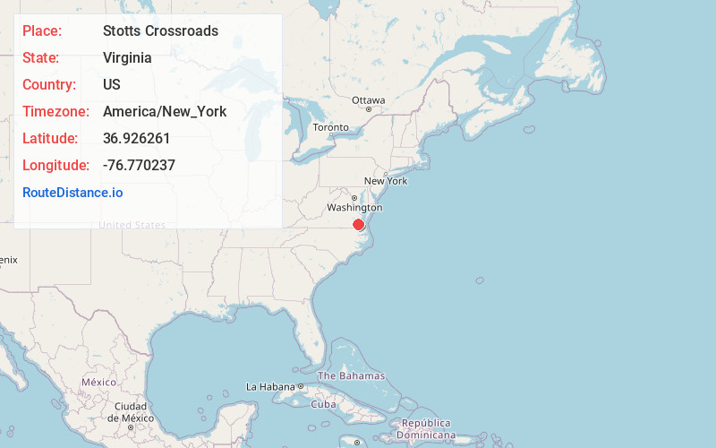
Static map view of Stotts Crossroads, Virginia
Browse Places by Distance
Places within specific distances from Stotts Crossroads
Short Distances
Long Distances
Click any distance to see all places within that range from Stotts Crossroads. Distances shown in miles (1 mile ≈ 1.61 kilometers).