Distance to Struble, Iowa

Calculating Your Route
Just a moment while we process your request...
Location Information
-
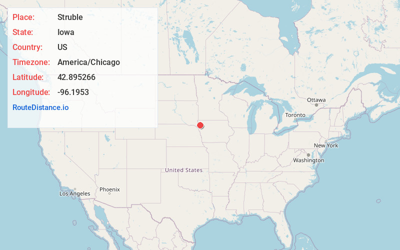
Full AddressStruble, IA 51031
-
Coordinates42.8952663, -96.1953
-
LocationStruble , Iowa , US
-
TimezoneAmerica/Chicago
-
Current Local Time12:27:18 AM America/ChicagoMonday, June 30, 2025
-
Page Views0
About Struble
Struble is a city in Plymouth County, Iowa, United States, along the West Branch of the Floyd River. The population was 67 at the time of the 2020 census.


Nearby Places
Found 10 places within 50 miles

Maurice
5.0 mi
8.0 km
Maurice, IA 51036
Get directions

Brunsville
7.0 mi
11.3 km
Brunsville, IA
Get directions

Le Mars
7.1 mi
11.4 km
Le Mars, IA 51031
Get directions

Ireton
8.3 mi
13.4 km
Ireton, IA 51027
Get directions
Oyens
8.7 mi
14.0 km
Oyens, IA
Get directions

Orange City
10.4 mi
16.7 km
Orange City, IA
Get directions

Alton
11.3 mi
18.2 km
Alton, IA 51003
Get directions

Merrill
12.4 mi
20.0 km
Merrill, IA 51038
Get directions

Remsen
12.6 mi
20.3 km
Remsen, IA 51050
Get directions

Sioux Center
12.8 mi
20.6 km
Sioux Center, IA 51250
Get directions
Location Links
Local Weather
Weather Information
Coming soon!
Location Map
Static map view of Struble, Iowa
Browse Places by Distance
Places within specific distances from Struble
Short Distances
Long Distances
Click any distance to see all places within that range from Struble. Distances shown in miles (1 mile ≈ 1.61 kilometers).