Distance to Stumpy Point, North Carolina

Calculating Your Route
Just a moment while we process your request...
Location Information
-
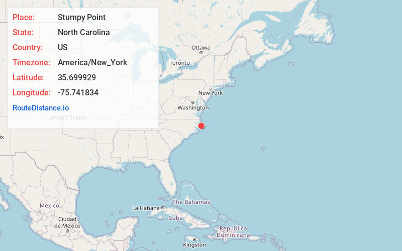
Full AddressStumpy Point, NC 27978
-
Coordinates35.6999288, -75.7418335
-
LocationStumpy Point , North Carolina , US
-
TimezoneAmerica/New_York
-
Current Local Time5:17:41 AM America/New_YorkWednesday, June 18, 2025
-
Page Views0
About Stumpy Point
Stumpy Point is an unincorporated community in Dare County, North Carolina, United States. The community is located at the intersection of US 264 and Bayview Drive; along the north side of Stumpy Point Bay. It is surrounded by the Alligator River National Wildlife Refuge.


Nearby Places
Found 10 places within 50 miles

Wanchese
11.4 mi
18.3 km
Wanchese, NC 27981
Get directions

Manns Harbor
12.9 mi
20.8 km
Manns Harbor, NC 27953
Get directions

Manteo
14.9 mi
24.0 km
Manteo, NC 27954
Get directions
Fort Raleigh City
16.5 mi
26.6 km
Fort Raleigh City, NC 27954
Get directions

Rodanthe
17.0 mi
27.4 km
Rodanthe, NC 27968
Get directions

Waves
17.9 mi
28.8 km
Waves, NC 27968
Get directions

Salvo
18.7 mi
30.1 km
Salvo, NC 27968
Get directions

Nags Head
19.0 mi
30.6 km
Nags Head, NC 27959
Get directions

Engelhard
19.4 mi
31.2 km
Engelhard, NC 27824
Get directions

Frying Pan
21.5 mi
34.6 km
Frying Pan, NC 27925
Get directions
Location Links
Local Weather
Weather Information
Coming soon!
Location Map
Static map view of Stumpy Point, North Carolina
Browse Places by Distance
Places within specific distances from Stumpy Point
Short Distances
Long Distances
Click any distance to see all places within that range from Stumpy Point. Distances shown in miles (1 mile ≈ 1.61 kilometers).