Distance to Sunset Harbor, North Carolina

Calculating Your Route
Just a moment while we process your request...
Location Information
-
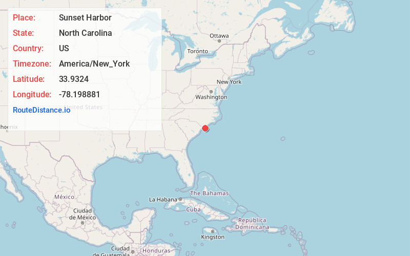
Full AddressSunset Harbor, NC 28422
-
Coordinates33.9324001, -78.1988811
-
LocationSunset Harbor , North Carolina , US
-
TimezoneAmerica/New_York
-
Current Local Time8:56:57 PM America/New_YorkTuesday, June 17, 2025
-
Page Views0
About Sunset Harbor
Sunset Harbor is an unincorporated community on the banks of the Lockwood Folly River and the Atlantic Intracoastal Waterway in Brunswick County, North Carolina, United States. It is bordered by the city limits of Oak Island and is situated across the river from Varnamtown.
Nearby Places
Found 10 places within 50 miles

Oak Island
2.3 mi
3.7 km
Oak Island, NC
Get directions

Varnamtown
2.4 mi
3.9 km
Varnamtown, NC 28462
Get directions

Sandy Hill
3.1 mi
5.0 km
Sandy Hill, NC 28422
Get directions

Holden Beach
4.2 mi
6.8 km
Holden Beach, NC
Get directions

St James
4.9 mi
7.9 km
St James, NC 28461
Get directions
Lennon Crossroads
4.9 mi
7.9 km
Lennon Crossroads, NC 28422
Get directions
Secession
5.5 mi
8.9 km
Secession, NC 28462
Get directions
Suburb
5.8 mi
9.3 km
Suburb, NC 28422
Get directions
Brunswick County
6.6 mi
10.6 km
Brunswick County, NC
Get directions
Sivey Town
6.6 mi
10.6 km
Sivey Town, NC 28462
Get directions
Location Links
Local Weather
Weather Information
Coming soon!
Location Map
Static map view of Sunset Harbor, North Carolina
Browse Places by Distance
Places within specific distances from Sunset Harbor
Short Distances
Long Distances
Click any distance to see all places within that range from Sunset Harbor. Distances shown in miles (1 mile ≈ 1.61 kilometers).