Distance to Sutton, Arkansas

Calculating Your Route
Just a moment while we process your request...
Location Information
-
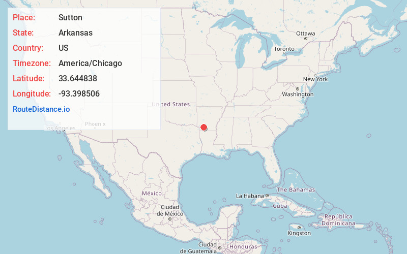
Full AddressSutton, AR 71835
-
Coordinates33.644838, -93.3985058
-
LocationArkansas , US
-
TimezoneAmerica/Chicago
-
Current Local Time8:26:56 PM America/ChicagoMonday, June 23, 2025
-
Page Views0
Nearby Places
Found 10 places within 50 miles

Laneburg
4.1 mi
6.6 km
Laneburg, AR 71857
Get directions
Bodcaw
5.9 mi
9.5 km
Bodcaw, AR 71858
Get directions

Emmet
7.0 mi
11.3 km
Emmet, AR 71835
Get directions
Shover Springs
7.7 mi
12.4 km
Shover Springs, AR 71801
Get directions
Rosston
7.9 mi
12.7 km
Rosston, AR 71858
Get directions
Perrytown
8.4 mi
13.5 km
Perrytown, AR 71801
Get directions
Cale
9.1 mi
14.6 km
Cale, AR
Get directions
Willisville
10.5 mi
16.9 km
Willisville, AR
Get directions

Prescott
10.9 mi
17.5 km
Prescott, AR 71857
Get directions
Dills Mills
11.2 mi
18.0 km
Dills Mills, AR 71858
Get directions
Location Links
Local Weather
Weather Information
Coming soon!
Location Map
Static map view of Sutton, Arkansas
Browse Places by Distance
Places within specific distances from Sutton
Short Distances
Long Distances
Click any distance to see all places within that range from Sutton. Distances shown in miles (1 mile ≈ 1.61 kilometers).