Distance to Swanton, California

Calculating Your Route
Just a moment while we process your request...
Location Information
-
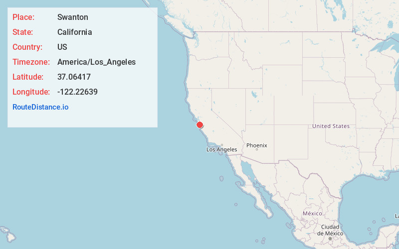
Full AddressSwanton, CA 95017
-
Coordinates37.06417, -122.22639
-
LocationSwanton , California , US
-
TimezoneAmerica/Los_Angeles
-
Current Local Time11:42:58 PM America/Los_AngelesMonday, May 19, 2025
-
Page Views0
About Swanton
Swanton is a small community in an unincorporated area of Santa Cruz County on the Pacific coast, situated about 5 miles north of the town of Davenport, to the east of State Route 1 on Swanton Road.
Nearby Places
Found 10 places within 50 miles

Davenport
4.1 mi
6.6 km
Davenport, CA 95017
Get directions

Bonny Doon
4.9 mi
7.9 km
Bonny Doon, CA 95060
Get directions

Boulder Creek
7.2 mi
11.6 km
Boulder Creek, CA 95006
Get directions

Brookdale
7.2 mi
11.6 km
Brookdale, CA
Get directions

Ben Lomond
7.9 mi
12.7 km
Ben Lomond, CA
Get directions

Felton
8.5 mi
13.7 km
Felton, CA
Get directions

Mt Hermon
9.5 mi
15.3 km
Mt Hermon, CA
Get directions

Lompico
10.2 mi
16.4 km
Lompico, CA
Get directions

Zayante
10.3 mi
16.6 km
Zayante, CA
Get directions
Mission Springs
10.7 mi
17.2 km
Mission Springs, CA 95066
Get directions
Location Links
Local Weather
Weather Information
Coming soon!
Location Map
Static map view of Swanton, California
Browse Places by Distance
Places within specific distances from Swanton
Short Distances
Long Distances
Click any distance to see all places within that range from Swanton. Distances shown in miles (1 mile ≈ 1.61 kilometers).