Distance to Table Rock, Oregon

Calculating Your Route
Just a moment while we process your request...
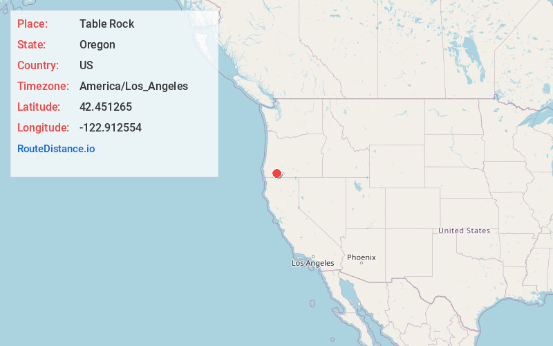
Location Information
-
Full AddressTable Rock, OR 97502
-
Coordinates42.4512646, -122.9125544
-
LocationTable Rock , Oregon , US
-
TimezoneAmerica/Los_Angeles
-
Current Local Time4:29:35 PM America/Los_AngelesTuesday, May 20, 2025
-
Page Views0
About Table Rock
Table Rock is an unincorporated community in Jackson County, Oregon, United States. It lies near the Rogue River along Table Rock Road between White City and Sams Valley. The topographic features known as Upper and Lower Table Rock are slightly west of the community.


Nearby Places
Found 10 places within 50 miles

Tolo
3.5 mi
5.6 km
Tolo, OR 97502
Get directions

White City
4.2 mi
6.8 km
White City, OR
Get directions

Seven Oaks
4.3 mi
6.9 km
Seven Oaks, OR 97502
Get directions

Central Point
5.2 mi
8.4 km
Central Point, OR
Get directions

Eagle Point
5.8 mi
9.3 km
Eagle Point, OR 97524
Get directions

Gold Hill
7.2 mi
11.6 km
Gold Hill, OR 97525
Get directions

Medford
9.0 mi
14.5 km
Medford, OR
Get directions
Rock Point
9.7 mi
15.6 km
Rock Point, OR 97525
Get directions

Jacksonville
9.9 mi
15.9 km
Jacksonville, OR 97530
Get directions
Brownsboro
10.4 mi
16.7 km
Brownsboro, OR 97524
Get directions
Location Links
Local Weather
Weather Information
Coming soon!
Location Map
Static map view of Table Rock, Oregon
Browse Places by Distance
Places within specific distances from Table Rock
Short Distances
Long Distances
Click any distance to see all places within that range from Table Rock. Distances shown in miles (1 mile ≈ 1.61 kilometers).