Distance to Tallent, Missouri

Calculating Your Route
Just a moment while we process your request...
Location Information
-
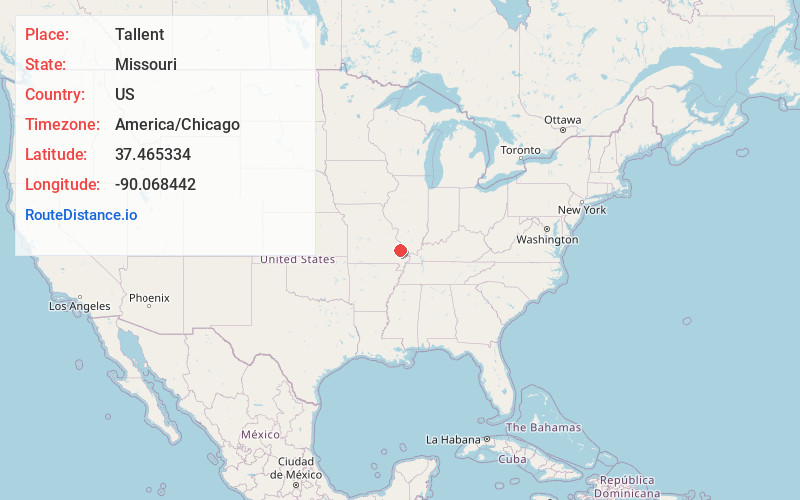
Full AddressTallent, Crooked Creek Township, MO 63662
-
Coordinates37.4653336, -90.0684423
-
LocationCrooked Creek Township , Missouri , US
-
TimezoneAmerica/Chicago
-
Current Local Time3:39:47 PM America/ChicagoThursday, July 3, 2025
-
Page Views1
About Tallent
Tallent is an unincorporated community in the northern part of Crooked Creek Township in Bollinger County, Missouri, United States. Tallent lies 4 1/2 miles southwest of Patton,
and was named for Reverend George W. Tallent, who was a local minister and school commissioner.
Nearby Places
Found 10 places within 50 miles

Patton
3.9 mi
6.3 km
Patton, MO 63662
Get directions
North Patton
5.4 mi
8.7 km
North Patton, Union Township, MO 63775
Get directions

Marquand
6.0 mi
9.7 km
Marquand, MO 63655
Get directions
Grisham
6.2 mi
10.0 km
Grisham, Crooked Creek Township, MO 63655
Get directions
Shrum
6.3 mi
10.1 km
Shrum, Crooked Creek Township, MO 63764
Get directions
Bessville
6.6 mi
10.6 km
Bessville, Crooked Creek Township, MO 63751
Get directions
Alliance
7.8 mi
12.6 km
Alliance, MO 63775
Get directions
Cornwall
8.1 mi
13.0 km
Cornwall, MO 63645
Get directions
Klendike
8.7 mi
14.0 km
Klendike, MO 63655
Get directions
Scopus
9.3 mi
15.0 km
Scopus, MO 63766
Get directions
Location Links
Local Weather
Weather Information
Coming soon!
Location Map
Static map view of Tallent, Missouri
Browse Places by Distance
Places within specific distances from Tallent
Short Distances
Long Distances
Click any distance to see all places within that range from Tallent. Distances shown in miles (1 mile ≈ 1.61 kilometers).