Distance to Talleyrand Township, Kansas

Calculating Your Route
Just a moment while we process your request...
Location Information
-
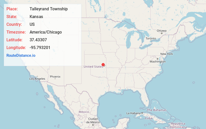
Full AddressTalleyrand Township, KS
-
Coordinates37.4330696, -95.7932008
-
LocationTalleyrand Township , Kansas , US
-
TimezoneAmerica/Chicago
-
Current Local Time9:00:05 AM America/ChicagoWednesday, May 21, 2025
-
Page Views0
About Talleyrand Township
Talleyrand Township is a township in Wilson County, Kansas, United States.
Nearby Places
Found 10 places within 50 miles

Lafontaine
3.7 mi
6.0 km
Lafontaine, KS 66736
Get directions

Neodesha
6.3 mi
10.1 km
Neodesha, KS 66757
Get directions
Hilford
6.5 mi
10.5 km
Hilford, KS 66757
Get directions

South Mound
6.7 mi
10.8 km
South Mound, Fredonia, KS 66736
Get directions
Buxton
7.1 mi
11.4 km
Buxton, KS 66736
Get directions

Fredonia
7.2 mi
11.6 km
Fredonia, KS 66736
Get directions
Buffville
8.1 mi
13.0 km
Buffville, KS 66757
Get directions

Sycamore
8.5 mi
13.7 km
Sycamore, KS
Get directions

Altoona
9.6 mi
15.4 km
Altoona, KS 66710
Get directions
Crane
10.6 mi
17.1 km
Crane, Sycamore Township, KS 67301
Get directions
Location Links
Local Weather
Weather Information
Coming soon!
Location Map
Static map view of Talleyrand Township, Kansas
Browse Places by Distance
Places within specific distances from Talleyrand Township
Short Distances
Long Distances
Click any distance to see all places within that range from Talleyrand Township. Distances shown in miles (1 mile ≈ 1.61 kilometers).