Distance to Tekonsha, Michigan

Calculating Your Route
Just a moment while we process your request...
Location Information
-
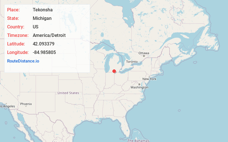
Full AddressTekonsha, MI 49092
-
Coordinates42.0933791, -84.985805
-
LocationTekonsha , Michigan , US
-
TimezoneAmerica/Detroit
-
Current Local Time2:31:01 PM America/DetroitWednesday, June 18, 2025
-
Page Views0
About Tekonsha
Tekonsha is a village in Tekonsha Township, Calhoun County in the U.S. state of Michigan. It is part of the Battle Creek, Michigan Metropolitan Statistical Area. The population was 653 at the 2020 census.


Nearby Places
Found 10 places within 50 miles

Union City
7.9 mi
12.7 km
Union City, MI
Get directions

Homer
9.8 mi
15.8 km
Homer, MI 49245
Get directions

Coldwater
10.6 mi
17.1 km
Coldwater, MI 49036
Get directions

Quincy
11.6 mi
18.7 km
Quincy, MI 49082
Get directions

Litchfield
12.2 mi
19.6 km
Litchfield, MI 49252
Get directions

Marshall
12.4 mi
20.0 km
Marshall, MI 49068
Get directions
Athens
12.8 mi
20.6 km
Athens, MI 49011
Get directions

Albion
15.8 mi
25.4 km
Albion, MI 49224
Get directions
Brownlee Park
17.5 mi
28.2 km
Brownlee Park, MI
Get directions

Jonesville
18.3 mi
29.5 km
Jonesville, MI 49250
Get directions
Location Links
Local Weather
Weather Information
Coming soon!
Location Map
Static map view of Tekonsha, Michigan
Browse Places by Distance
Places within specific distances from Tekonsha
Short Distances
Long Distances
Click any distance to see all places within that range from Tekonsha. Distances shown in miles (1 mile ≈ 1.61 kilometers).