Distance to Thatcher, Colorado

Calculating Your Route
Just a moment while we process your request...
Location Information
-
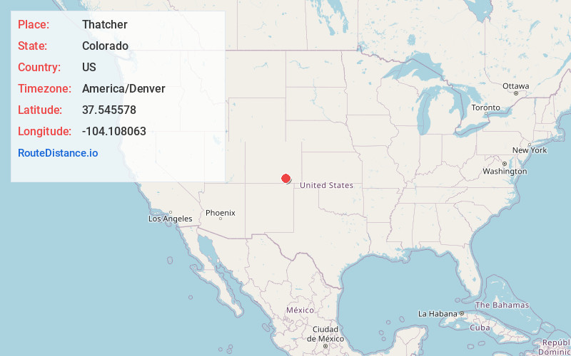
Full AddressThatcher, CO 81059
-
Coordinates37.5455775, -104.1080629
-
LocationThatcher , Colorado , US
-
TimezoneAmerica/Denver
-
Current Local Time7:45:09 PM America/DenverTuesday, May 20, 2025
-
Page Views0
About Thatcher
Thatcher is an unincorporated community located in Las Animas County, Colorado, United States. The U.S. Post Office at Model now serves Thatcher postal addresses.
A post office called Thatcher was established in 1883, and remained in operation until 1973.


Nearby Places
Found 10 places within 50 miles

Simpson
4.6 mi
7.4 km
Simpson, CO 81059
Get directions
Houghton
4.7 mi
7.6 km
Houghton, CO 81059
Get directions

Delhi
8.3 mi
13.4 km
Delhi, CO 81059
Get directions

Tyrone
8.4 mi
13.5 km
Tyrone, CO 81059
Get directions
Bloom
12.8 mi
20.6 km
Bloom, CO 81059
Get directions

Model
14.1 mi
22.7 km
Model, CO 81059
Get directions
Mindeman
15.3 mi
24.6 km
Mindeman, CO 81059
Get directions

Earl
17.4 mi
28.0 km
Earl, CO 81059
Get directions
Ayer
20.5 mi
33.0 km
Ayer, CO 81059
Get directions

Hoehne
23.7 mi
38.1 km
Hoehne, CO
Get directions
Location Links
Local Weather
Weather Information
Coming soon!
Location Map
Static map view of Thatcher, Colorado
Browse Places by Distance
Places within specific distances from Thatcher
Short Distances
Long Distances
Click any distance to see all places within that range from Thatcher. Distances shown in miles (1 mile ≈ 1.61 kilometers).