Distance to The Cedars, Idaho

Calculating Your Route
Just a moment while we process your request...
Location Information
-
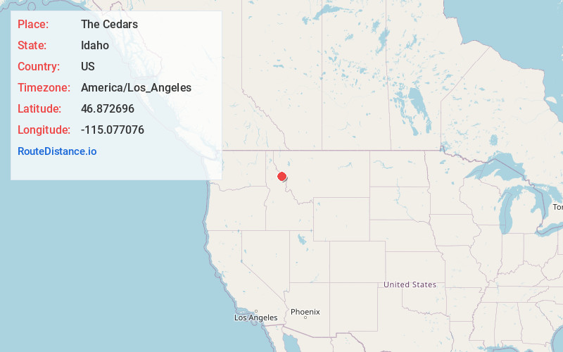
Full AddressThe Cedars, ID
-
Coordinates46.8726963, -115.0770755
-
NeighborhoodThe Cedars
-
LocationThe Cedars , Idaho , US
-
TimezoneAmerica/Los_Angeles
-
Current Local Time9:16:18 AM America/Los_AngelesFriday, May 23, 2025
-
Page Views0
Nearby Places
Found 10 places within 50 miles

Lost Creek Falls
16.7 mi
26.9 km
Lost Creek Falls, Montana 59872
Get directions

Tarkio
19.0 mi
30.6 km
Tarkio, MT 59872
Get directions
Westfall
21.9 mi
35.2 km
Westfall, MT 59872
Get directions
Riverbend
22.5 mi
36.2 km
Riverbend, MT 59872
Get directions

Superior
23.7 mi
38.1 km
Superior, MT 59872
Get directions
Cyr
25.1 mi
40.4 km
Cyr, MT 59820
Get directions

Lolo Hot Springs
27.3 mi
43.9 km
Lolo Hot Springs, MT 59847
Get directions

St Regis
29.7 mi
47.8 km
St Regis, MT 59866
Get directions

Alberton
29.8 mi
48.0 km
Alberton, MT 59820
Get directions

Lothrop
30.8 mi
49.6 km
Lothrop, MT 59820
Get directions
Location Links
Local Weather
Weather Information
Coming soon!
Location Map
Static map view of The Cedars, Idaho
Browse Places by Distance
Places within specific distances from The Cedars
Short Distances
Long Distances
Click any distance to see all places within that range from The Cedars. Distances shown in miles (1 mile ≈ 1.61 kilometers).