Distance to The Ohio State University, Ohio

Calculating Your Route
Just a moment while we process your request...
Location Information
-
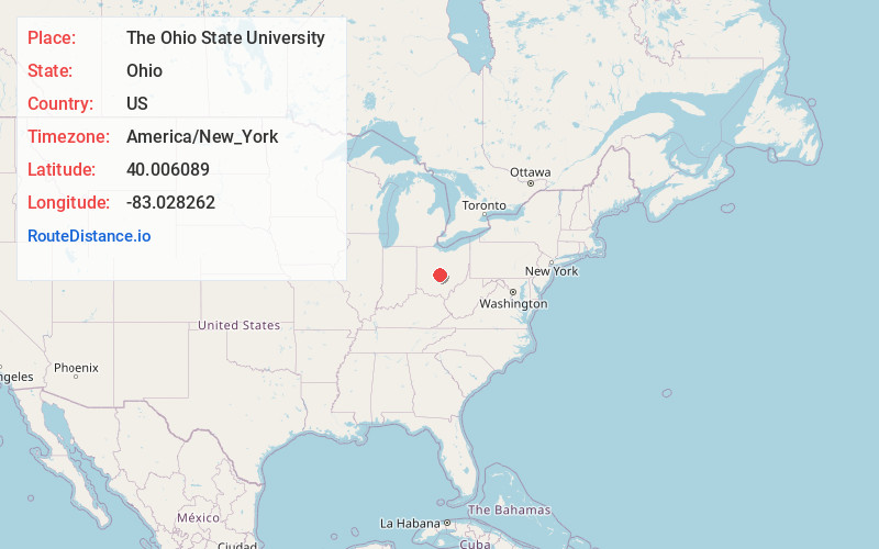
Full AddressThe Ohio State University, 281 W Lane Ave, Columbus, OH 43210
-
Coordinates40.0060889, -83.0282624
-
Street281 W Lane Ave
-
LocationColumbus , Ohio , US
-
TimezoneAmerica/New_York
-
Current Local Time3:15:38 PM America/New_YorkSaturday, June 21, 2025
-
Website
-
Page Views0
About The Ohio State University
Huge public research school known for its leafy campus & sports & healthcare programs.


Nearby Places
Found 10 places within 50 miles

Grandview Heights
1.9 mi
3.1 km
Grandview Heights, OH
Get directions

Upper Arlington
2.0 mi
3.2 km
Upper Arlington, OH
Get directions

Marble Cliff
2.2 mi
3.5 km
Marble Cliff, OH
Get directions

Columbus
3.3 mi
5.3 km
Columbus, OH
Get directions

Clinton Township
4.3 mi
6.9 km
Clinton Township, OH
Get directions
Franklin Township
4.8 mi
7.7 km
Franklin Township, OH
Get directions

Bexley
5.4 mi
8.7 km
Bexley, OH 43209
Get directions

Worthington
6.0 mi
9.7 km
Worthington, OH
Get directions
Norwich Township
7.0 mi
11.3 km
Norwich Township, OH
Get directions

Hilliard
7.1 mi
11.4 km
Hilliard, OH
Get directions
Location Links
Local Weather
Weather Information
Coming soon!
Location Map
Static map view of The Ohio State University, Ohio
Browse Places by Distance
Places within specific distances from The Ohio State University
Short Distances
Long Distances
Click any distance to see all places within that range from The Ohio State University. Distances shown in miles (1 mile ≈ 1.61 kilometers).